from the Wick of Skaw to the Golden Valleys
7 October 2009
The North Atlantic Arc Home
| Septemberrrrr | Octoberrrrrrrr |
| S | M | T | W | T | F | S |
| 7 | 8 | 9 | 10 | 11 | 12 | |
| 13 | 14 | 15 | 16 | 17 | 18 | 19 |
| 20 | 21 | 22 | 23 | 24 | 25 | 26 |
| 27 | 28 | 29 | 30 | 1 | 2 | 3 |
| 4 | 5 | 6 | 7 | 8 | 9 | 10 |
| 11 | 12 | 13 | 14 | 15 |
 |
|
Wednesday 7 October 2009--For reasons I don't care to get into here, my contretemps with Mr Fathead Whiskywriter the
other day brought a crashing close to a friendship that had been very important to me, as I feared it would. In truth,
it was crumbling over the past few months, and shortly before I left home, I resigned myself to the fact that there was
nothing I could do about it but let it crumble. Still, it's a shocking and disquieting end to things, not what I would
have liked at all, and I spent two sleepless nights rolling it around in my mind.
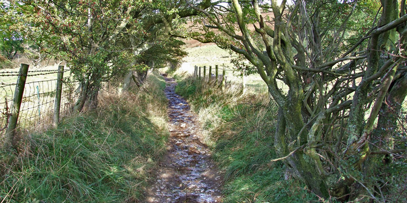
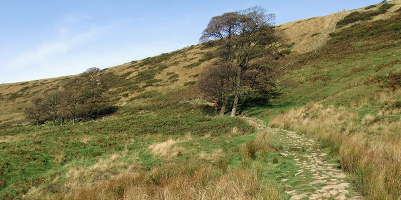
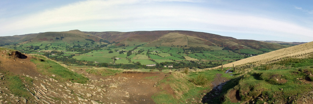
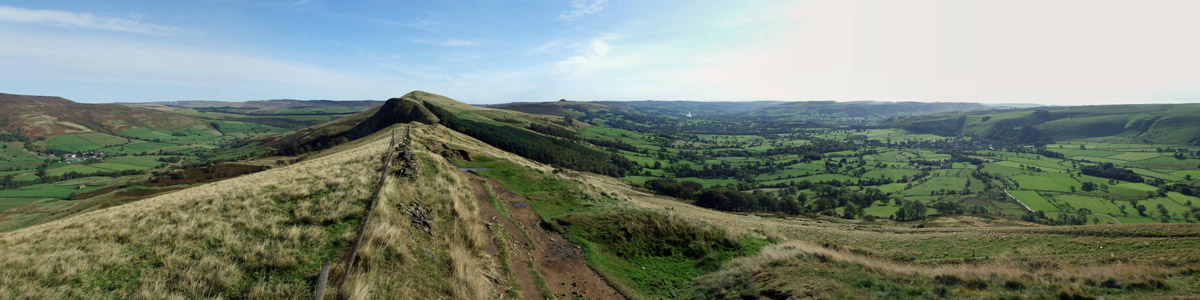
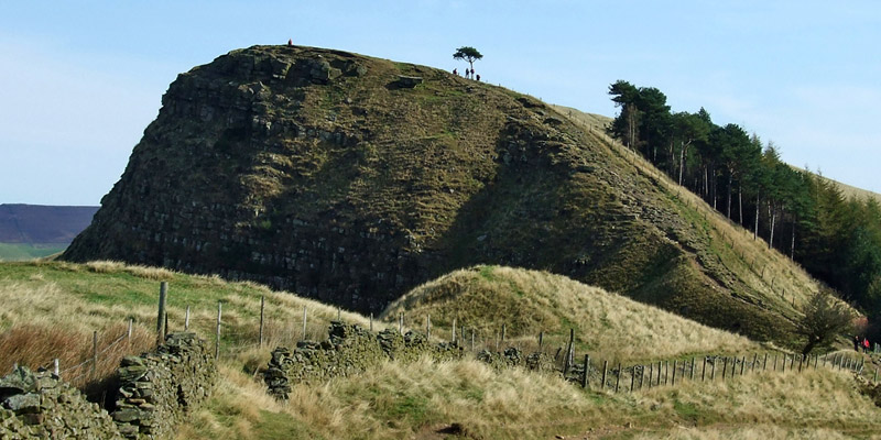
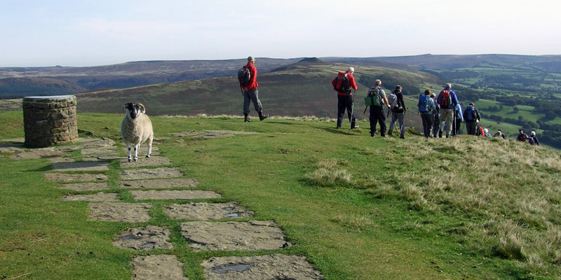
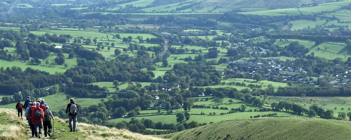
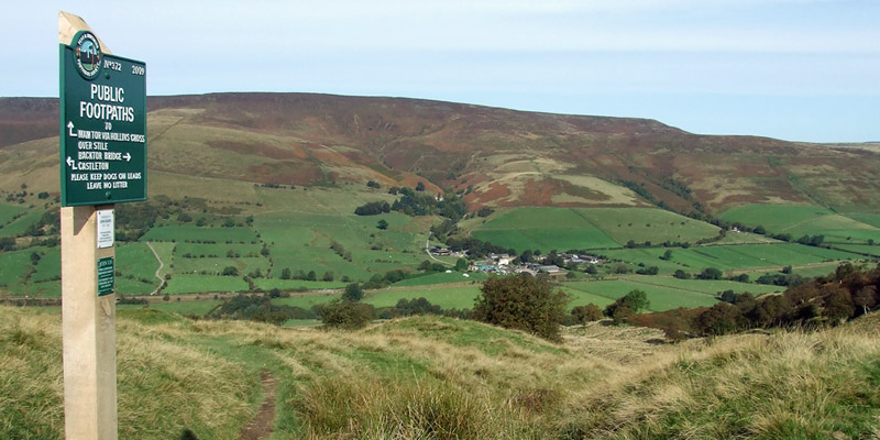
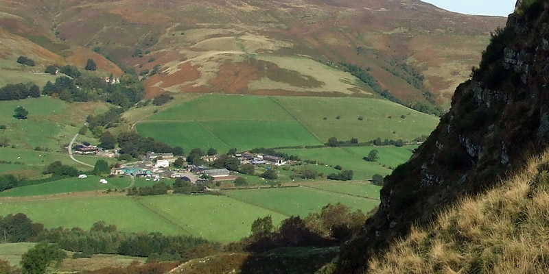
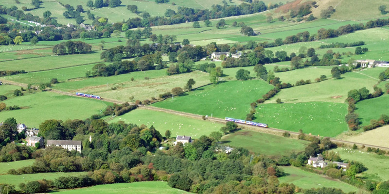
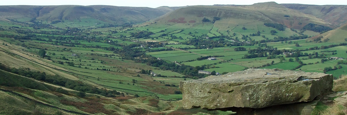
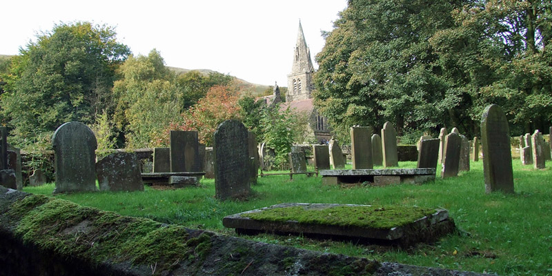
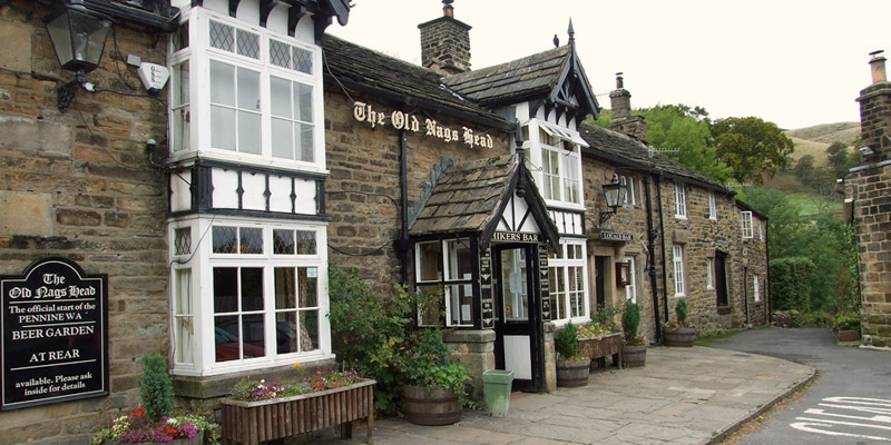
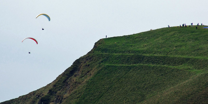
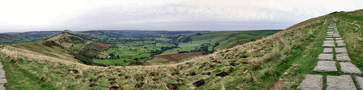
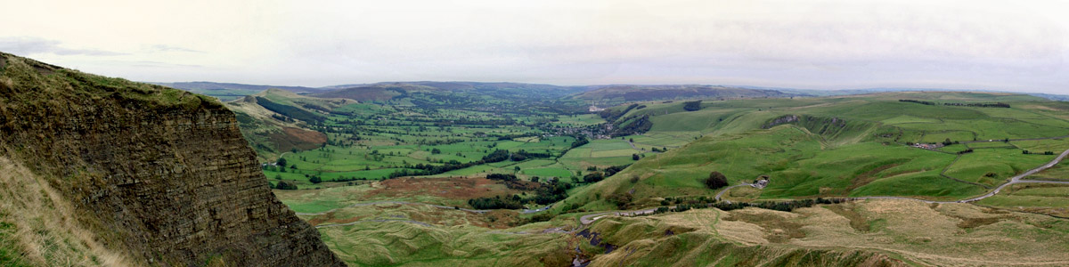
Yesterday, driving around in the rain, everything quite suddenly came into focus. Again, I can't really explain, except to say that the gist of it was the realization that I'm not responsible for other people's words, actions, and feelings. Pretty obvious, I know, but at that moment I felt the burden of guilt and blame slip from my shoulders. I slept very well last night, and woke up today feeling light-hearted and refreshed. As if to mirror my mood, the morning is sunny and crisp, and I set out on an all-day walk. Up the ridge on the north side of Hopedale I go, to Hollins Cross, the pass over into Edale. But first, I turn east toward Lose Hill. I encounter a group of older walkers--far older, anyway, than I imagine myself to be--and, as our paths cross repeatedly over the next half hour, I fall into easy banter with them. "Is this Hadrian's Wall?" I ask, indicating the low stone fence running alongside the trail. I'm sure they think me a right loon. Back down to Hollins Cross, and down into Edale. Shortly I am in Edale village, walking into the Old Nag's Head. It's a handsome pub, dating to 1577, and is the southern terminus of the Pennine Way. Long-distance walking in the UK started here--the "Great Trespass" of Kinder Scout, just north of here, in 1932 was the catalyst for securing right-of-way for walkers in Britain, and led to the establishment of long-distance trails and national parks. The Pennine Way goes north from the Peak District through Yorkshire and Northumberland, ending just across the Scottish border. I ponder all this over a pint of mild. Back up to the Cross, and west to Mam Tor, the highest point in the area, looking down over Hopedale and Castleton. There have been paragliders circling around its peak all day, and I'm hoping to get up close enough to get some good photos of them; but it's getting on in the afternoon, and as I ascend, they float off down into the valley, one by one, toward their waiting bus. I'm about ten minutes too late. Still, I enjoy the view from the top. The route I choose back down is perhaps not the best. Part of it runs along what was once the main road out of Hopedale to the west. Landslips long ago rendered it unusable, leaving the steep, narrow, twisting road through Winnats Pass as the only route out in that direction. I'm back to the B&B in time for a shower before dinner at the George. It's been a very good day. Next |
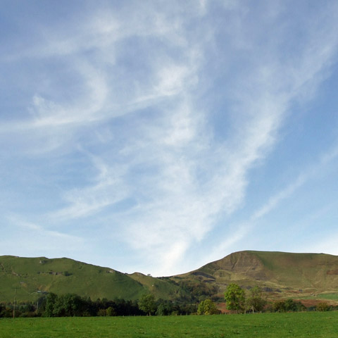 |
Toward Hollins Cross
 |
Setting Out
 |
Up The Slope
 |
Edale
 |
Edale And Hopedale
 |
Back Tor
 |
Lose Hill
 |
Parting
 |
Edale
 |
Edale And Hopedale
 |
Edale
 |
Edale
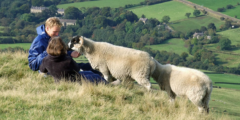 |
Sheep Love Chocolate
 |
Edale
 |
Edale
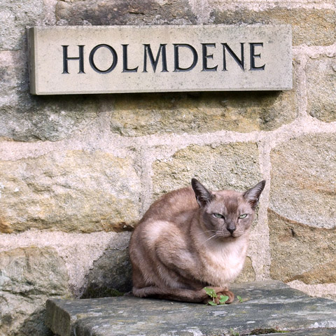 |
Edale Welcome Committee
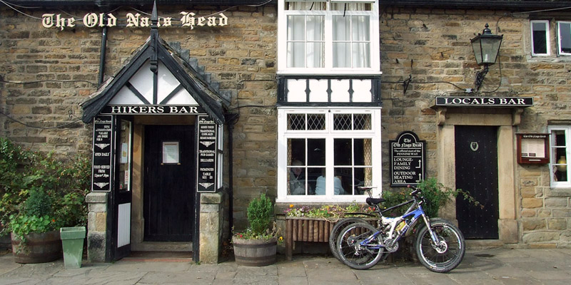 |
The Old Nag's Head
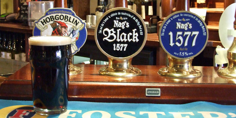 |
Afternoon Pint, Pt 1
 |
Afternoon Pint, Pt 2
 |
The Old Nag's Head
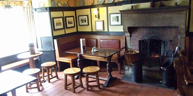 |
The Old Nag's Head
 |
The Old Nag's Head
 |
Mam Tor
 |
Hopedale
 |
Hopedale
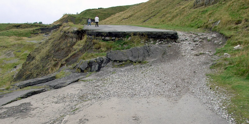 |
Road Not Taken
Next
| Septemberrrrr | Octoberrrrrrrr |
| S | M | T | W | T | F | S |
| 7 | 8 | 9 | 10 | 11 | 12 | |
| 13 | 14 | 15 | 16 | 17 | 18 | 19 |
| 20 | 21 | 22 | 23 | 24 | 25 | 26 |
| 27 | 28 | 29 | 30 | 1 | 2 | 3 |
| 4 | 5 | 6 | 7 | 8 | 9 | 10 |
| 11 | 12 | 13 | 14 | 15 |
The North Atlantic Arc Home
Mr Tattie Heid's Mileage
Results may vary
MrTattieHeid1954@gmail.com