
from Holy Island to the Isle of Iona


19 October 2010
The North Atlantic Arc Home
| September | /October/ | November |
| S | M | T | W | T | F | S |
| 27 | 28 | 29 | 30 | 1 | 2 | |
| 3 | 4 | 5 | 6 | 7 | 8 | 9 |
| 10 | 11 | 12 | 13 | 14 | 15 | 16 |
| 17 | 18 | 19 | 20 | 21 | 22 | 23 |
| 24 | 25 | 26 | 27 | 28 | 29 | 30 |
| 31 | 1 |
 |
|
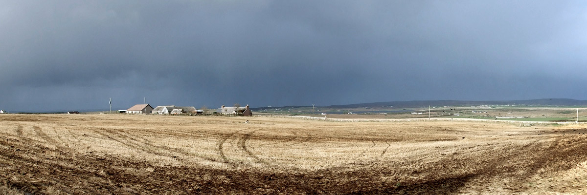
Tuesday 19 October 2010--Landscapes are like whisky--the big, bold ones draw the most attention and get all the Wows, while the gentler
ones are often considered boring, their subtle complexity overlooked. I'm headed along Scotland's northern coast today, looking forward
to the rugged landscapes of western Sutherland. Caithness is flatter, with the Flow Country, Europe's largest blanket bog, covering a
large part of its inland territory (and extending into southeastern Sutherland, as well), and much of the rest lazily undulating farm and
grazing land, and moor. There is considerable charm in such, if your eyes are open to it. As I drive northwest out of Wick this morning
on a minor B road, I stop several times to try to capture the broad sweep of the land with my camera. It's more of a challenge than
the dramatic mountain scenery in the west.
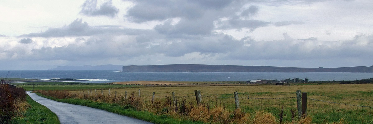
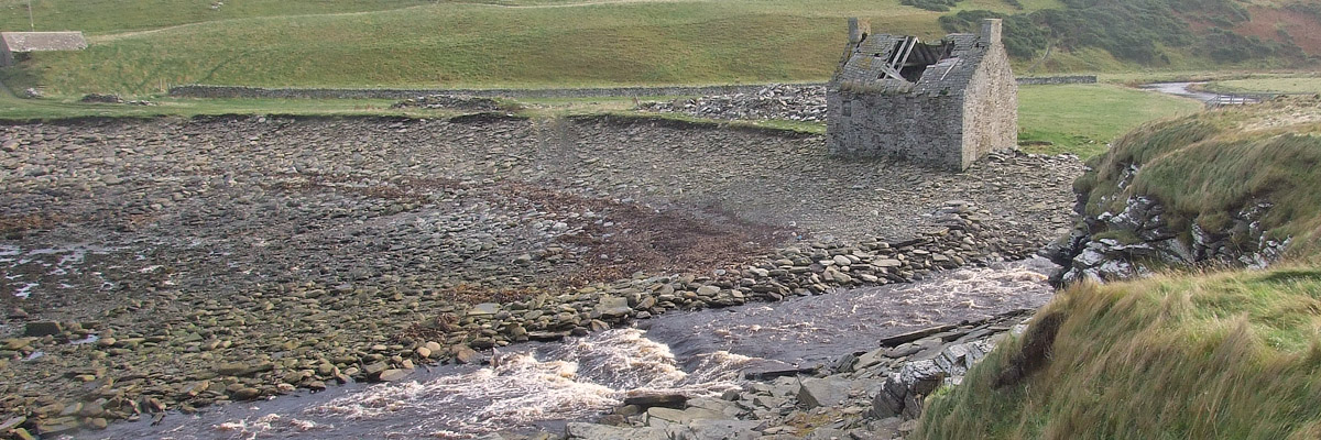
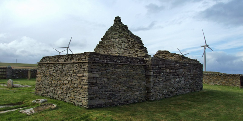
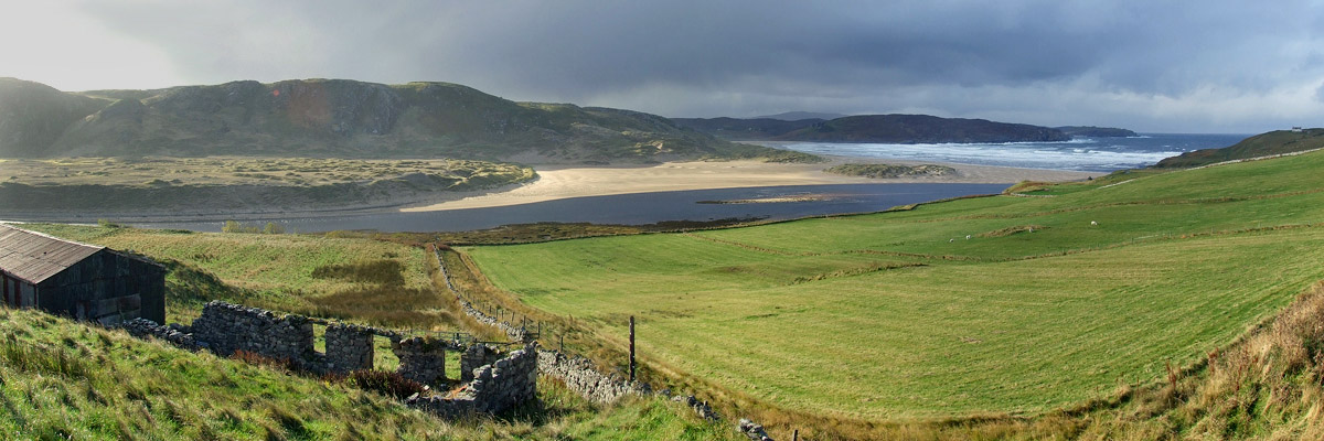
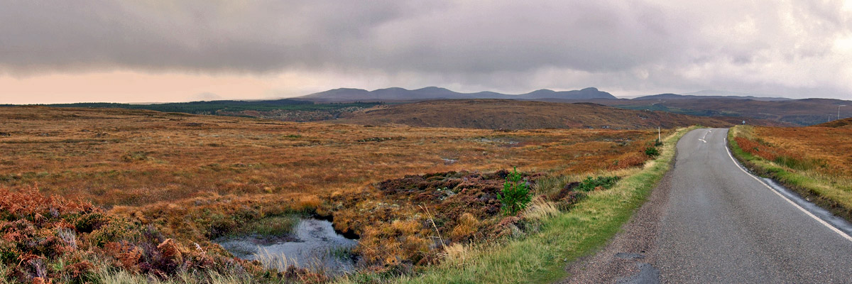
The road comes to a junction on the coast near Castletown, at one time the center of a prolific flagstone-quarrying operation. There's a museum here, and a short interpretive trail, but the former is closed just now, and the squalls are on again. I take a few quick photos at the beach at nearby Dunnet Bay and head on west, through Thurso. A few miles on, I come to Bridge of Forss, where there is a signpost for the ruined St Mary's Chapel. A footbridge crosses the Forss Water, close by what I take to be a ruined mill, and a short walk leads to the 12th-century chapel. Nothing very remarkable about it, I guess, but the view out over the roaring surf to the Isle of Hoy, in Orkney, is worth the walk. I drive past the massive Dounreay nuclear power complex, which started production in the '50s and ceased in the '90s. It was sited on Scotland's north coast so as to be as far as possible from the population centers of southern England, a fact I'm sure the locals greatly appreciate. It's in the midst of a decades-long decommissioning and clean-up, expected to cost many billions of pounds, complicated by the incredibly lax storage and disposal practices of the early years. Apparently there are radioactive particles being hunted and scooped up by robot, one by one, out along the neighboring beaches. The clean-up is expected to be complete around 2035, after which the site will be monitored and maintained until it is suitable for redevelopment in another three hundred years. Nothing like planning ahead. The road ascends after Dounreay, the border with Sutherland coming on a rise with a view of the hillier land ahead. A half-hour along stands the village of Bettyhill, by the mouth of the River Naver. It has always seemed quite natural to me that most of the settlement in the north of Scotland is along the coast, rather than in the wild and bleak interior. It is misconception on my part. At the Strathnaver Museum, housed in a deconsecrated church, I learn the story of the tenant crofters who lived in the fertile valley to the south (and indeed in many others throughout the region). They were, of course, victims of the Clearances, forced off the land by the Countess of Sutherland, to make way for more profitable sheep-grazing. Bettyhill, and other coastal villages like it, were the grossly inadequate provision made for the displaced. The museum documents the subsequent social history of the area. There are still traces of Strathnaver's past in the quiet landscape, much of it marked by a recently-developed historical trail, down the B873 toward Altnaharra. I can't go that way today, but my curiosity is piqued, and I feel quite sure I'll be back soon. Outside the museum stands the Farr Stone, a late Pictish cross slab thought to be from the 8th or 9th century. It's quite a stunning artifact, over seven feet tall and amazingly well-preserved. I'm surprised that it isn't better known, or at least that I wasn't aware of it. Up at the village center, I stop at the shop to buy a cheap pair of gloves and take advantage of the phone box outside. All at once, I realize that it's getting on in the afternoon, and I still have a good way to go. Nothing to do but drive, west through Tongue, around Loch Eriboll (where I am pelted by hail), to Durness; then south, through Rhiconich, Scourie, Laxford Bridge, and Kylesku. I arrive in Lochinver at 5:45 and find my guest house. The view out the window is of the village waterfront, the peculiar dome of Suilven peering over the hills behind. Dinner and pints are at the Caberfeidh Restaurant, one of those vital Highland oases of fine food and real ale I am always careful to be near at day's end. I'm here for two nights, and tomorrow's plans are up in the air. There's a lot to think about. As for today, I didn't get to everything I wanted to, but I feel some satisfaction in what I did see. I've driven across this territory a few times, giving it, I realize now, only a cursory glance. I'm just beginning to peel back the layers, to appreciate its subtle complexity. Next |
 |
Caithness
 |
Caithness
 |
Caithness
 |
Dunnet Bay
 |
Forss Water
 |
St Mary's Chapel
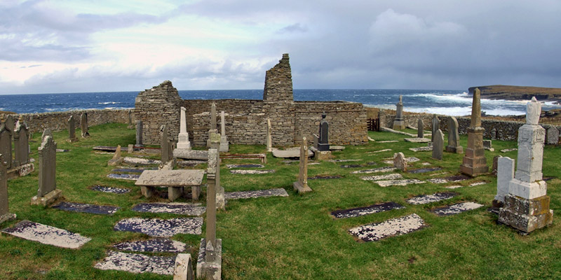 |
St Mary's Chapel
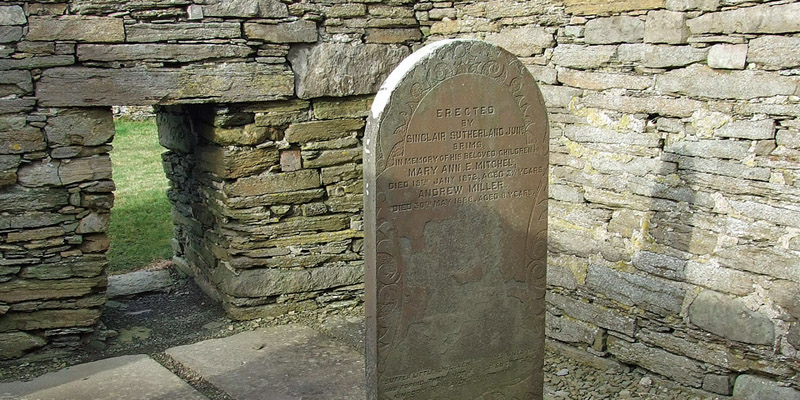 |
St Mary's Chapel
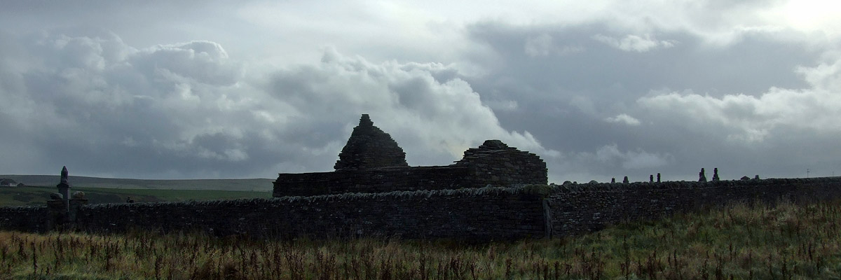 |
St Mary's Chapel
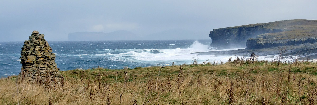 |
View Toward Orkney
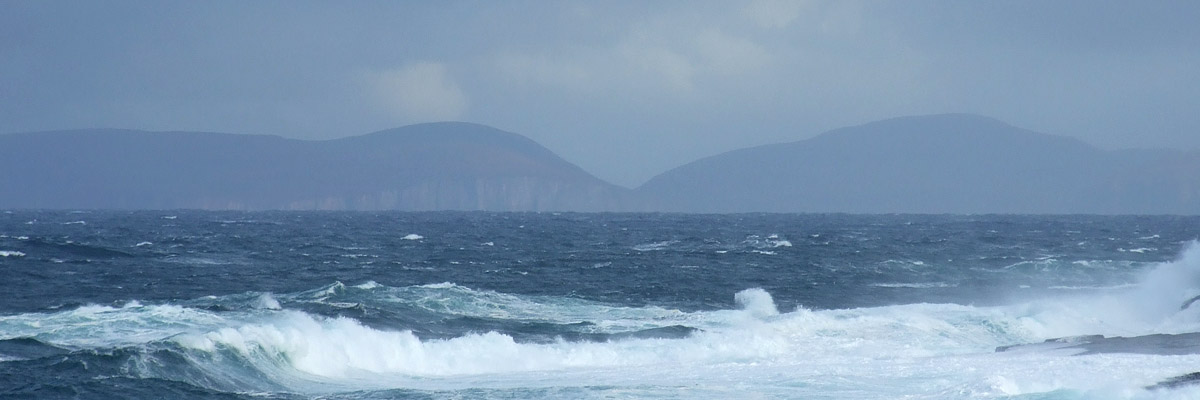 |
Hoy
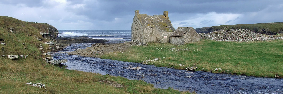 |
Forss Water
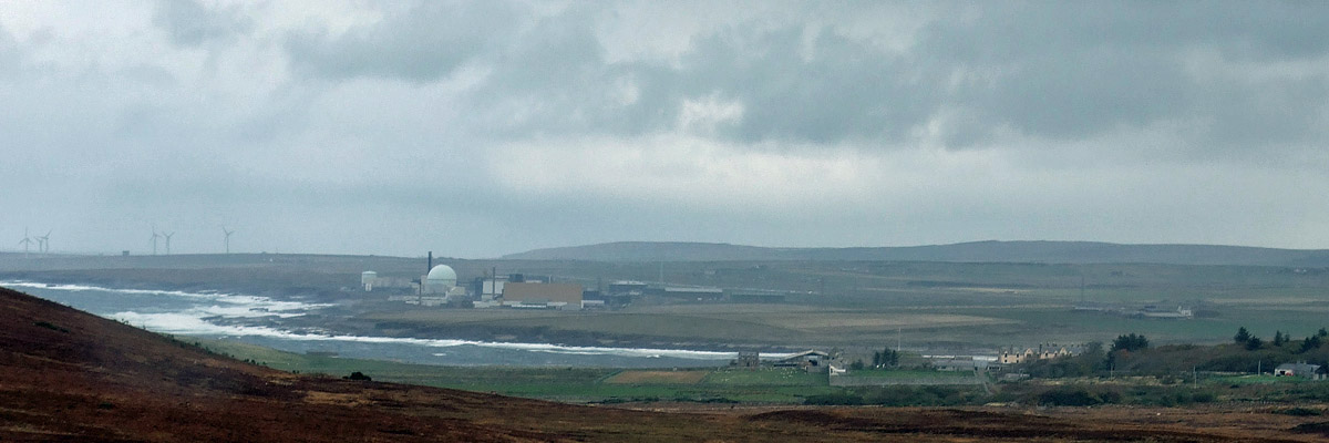 |
Dounreay Nuclear Power Development Establishment
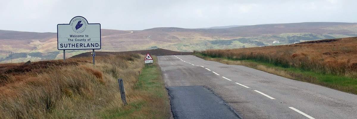 |
Sutherland
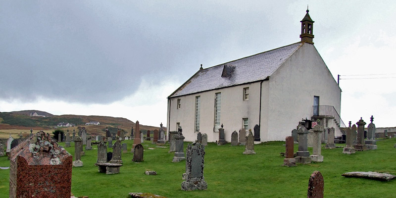 |
Strathnaver Museum
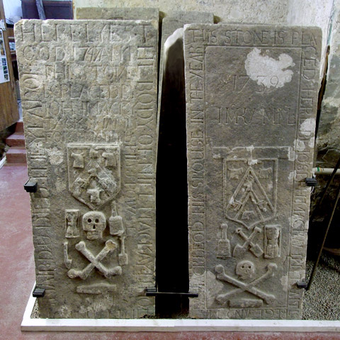 |
Strathnaver Museum
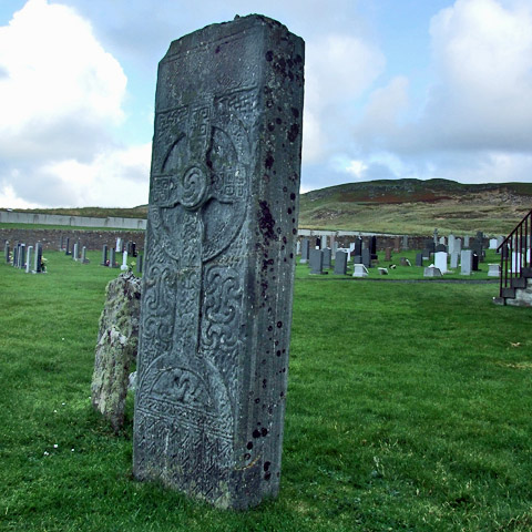 |
Farr Stone
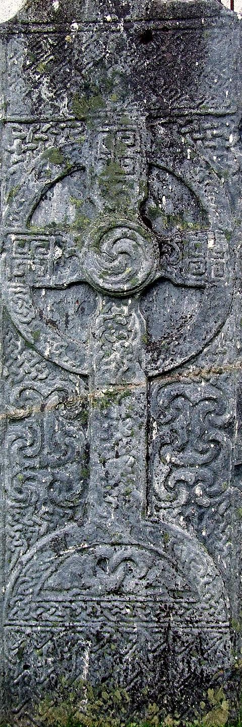 |
Detail, Farr Stone
 |
360° panorama of Bettyhill > > >
 |
Sutherland
 |
Sutherland
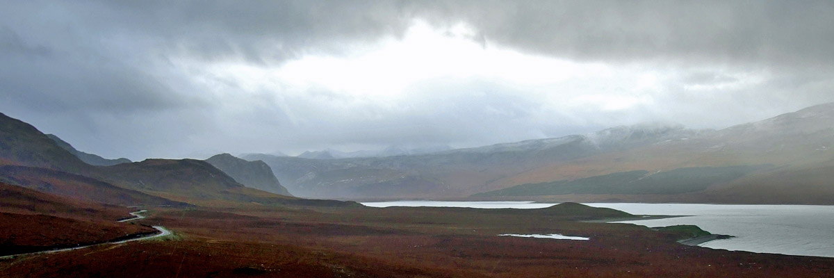 |
Weather On Loch Eriboll
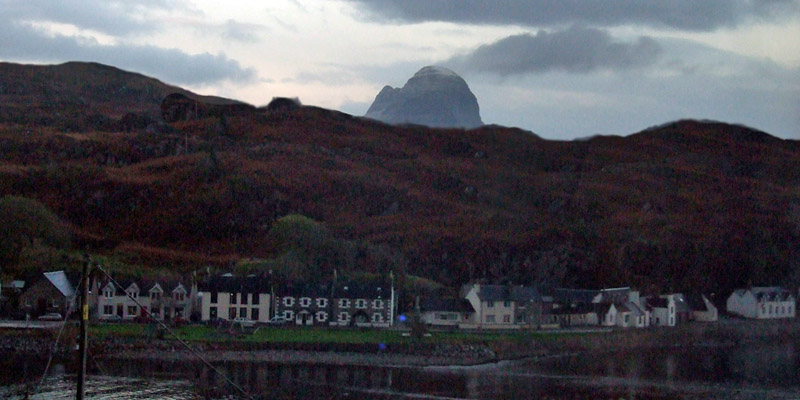 |
Lochinver At Dusk
Next
| September | /October/ | November |
| S | M | T | W | T | F | S |
| 27 | 28 | 29 | 30 | 1 | 2 | |
| 3 | 4 | 5 | 6 | 7 | 8 | 9 |
| 10 | 11 | 12 | 13 | 14 | 15 | 16 |
| 17 | 18 | 19 | 20 | 21 | 22 | 23 |
| 24 | 25 | 26 | 27 | 28 | 29 | 30 |
| 31 | 1 |
The North Atlantic Arc Home

Mr Tattie Heid's Mileage
Results may vary