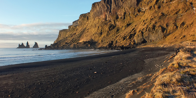
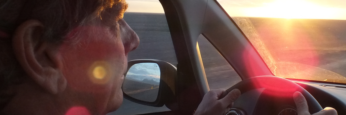
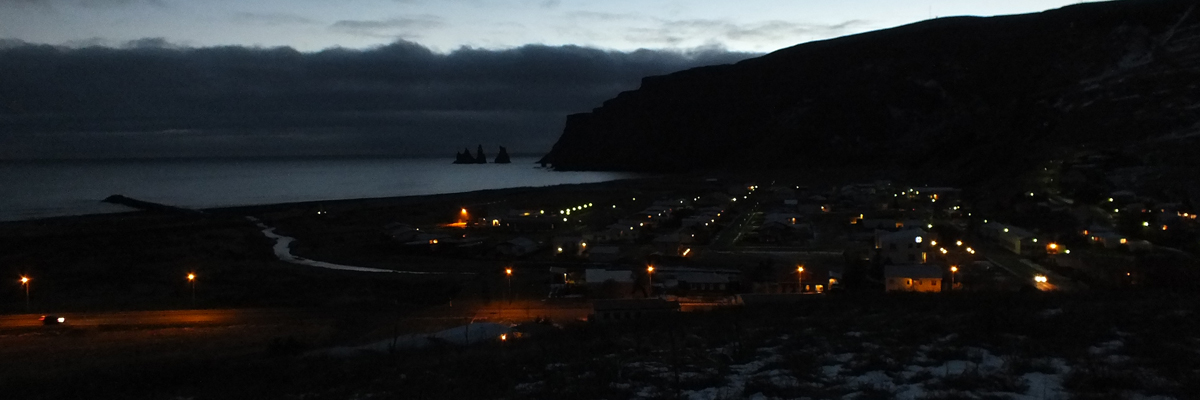
Sunday 3 November 2013--Start the day with a stroll on the beach, part of a
stretch of black basalt sand that extends for miles in either direction, interrupted
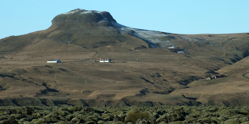
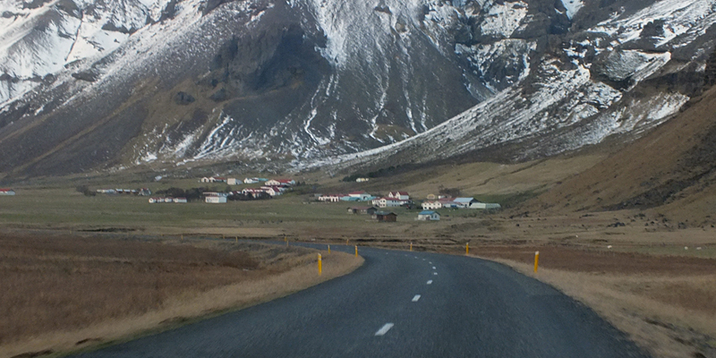
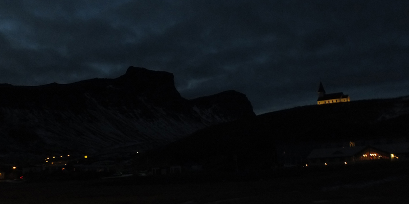
only by streams and rivers, and the occasional rocky headland. Reynisfjall is one
of these latter, looming over the town from the west. We noted last night that it
seems to make night fall early in Vík, especially late in the year, when the sun
slides obliquely behind it. On a clear morning, it reflects the early sun onto the
village. It was cold overnight, and there is a dusting of snow up on the hills. A
light rime on the grass and on the rocks on the beach is quickly evaporating.
It's ironic, I guess, that we would come to this area to find sunshine; exposed to
the Gulf Stream and the open Atlantic, this is statistically the wettest part of the
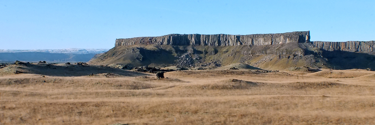
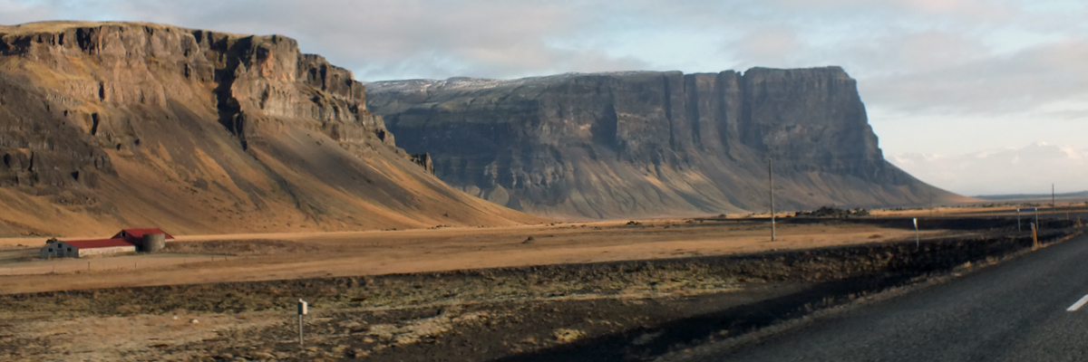
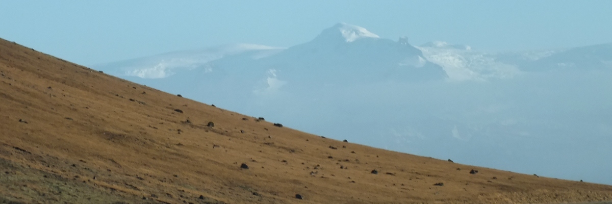
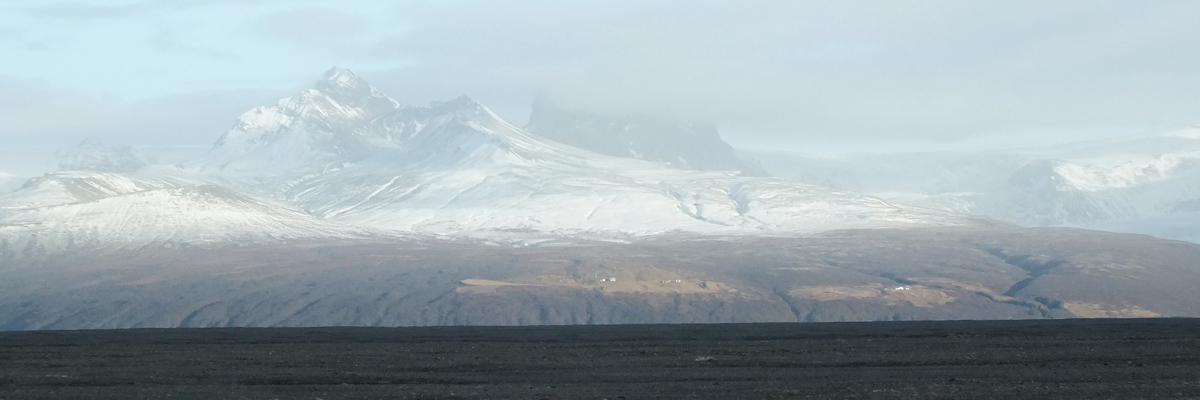
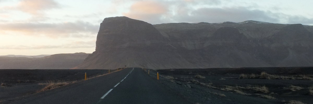
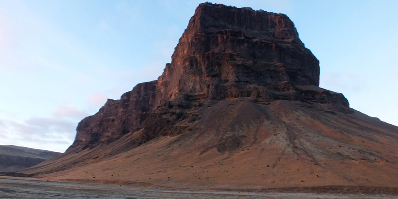
country. The long black beach is the leading edge of a glacial outflow plain,
narrow here but miles broad in other places, with the jagged edge of the
Icelandic Highlands bordering to the north. Coastal moisture plus rising land
plus high latitude means heavy snowfall, more than can melt away in the summer,
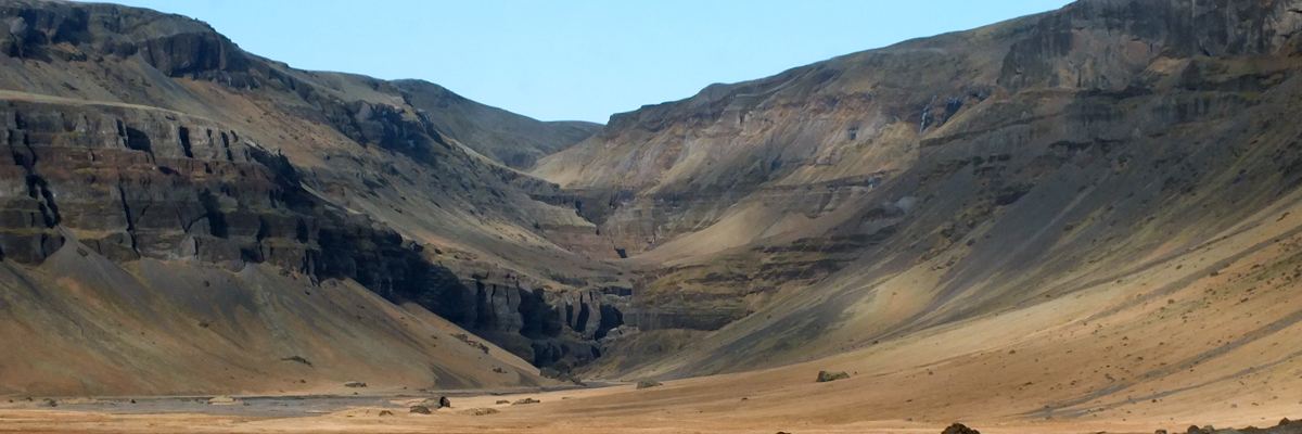
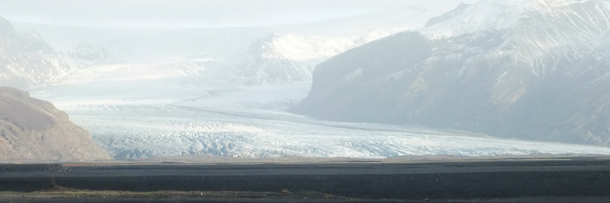
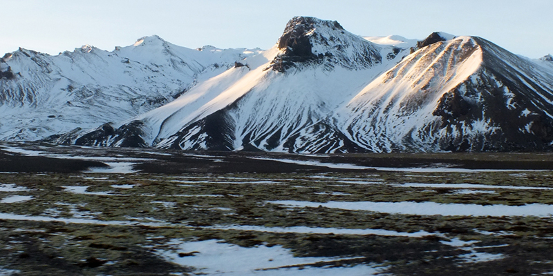
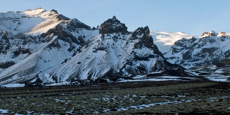
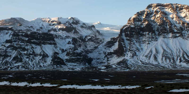
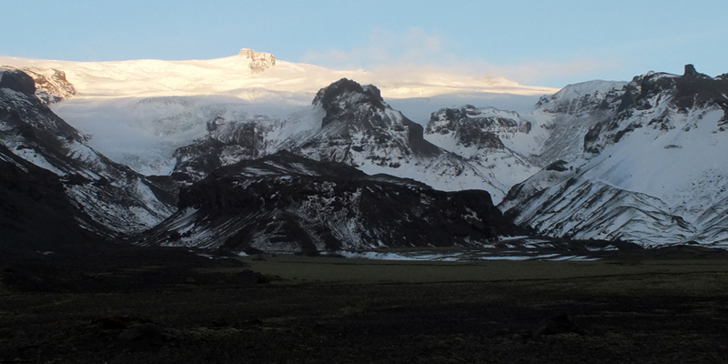
meaning glaciers. As we drive away to the east, across the plain, we see the toes
of glaciers poking out here and there through gaps in the mountains. These are
but the tiniest visible parts of vast glacial fields inland--Mýrdalsjökull, north of
Vík; the smaller Eyjafjallajökull, to the west; and great Vatnajökull, the largest
glacier in Europe, to the east. Under all of these glaciers are active volcanoes, a
recipe for disaster. Jökulhlaup is the Icelandic word for flooding caused by the
sudden release of a large amount of glacial meltwater, usually caused by
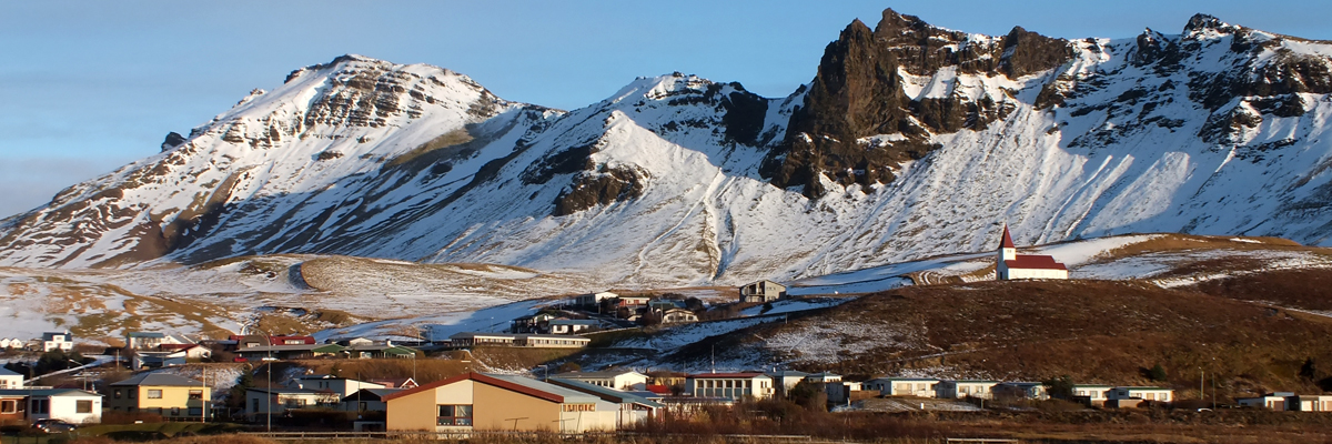
geothermal heating. The citizens of Vík are well-drilled to evacuate quickly to
the church on the hill above town, hopefully high enough to escape the
devastation of a flash flood that might follow an eruption. The Eyjafjallajökull
eruption of 2010 is best remembered for the disruption it caused to European
air traffic, but it also had devastating effects locally, obviously, including
flooding. That was a drop in the bucket compared to the flooding caused by the
eruption of Grímsvötn, beneath Vatnajökull, in 1996. Large sections of the ring
road were washed away in that event. Icelandic authorities monitor Grímsvötn
closely, so the road was closed, and there was no loss of life. The same volcano
erupted in 2004, causing considerable disruption to air traffic.
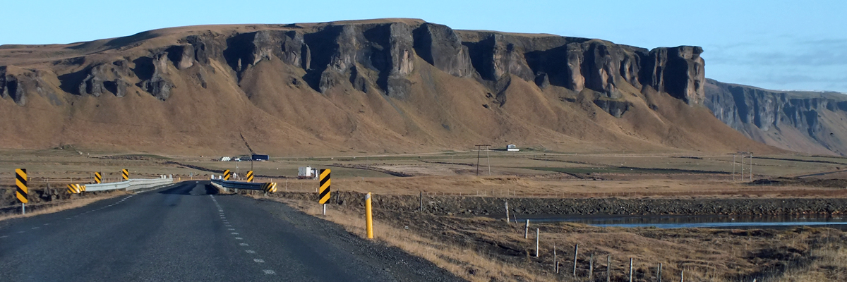
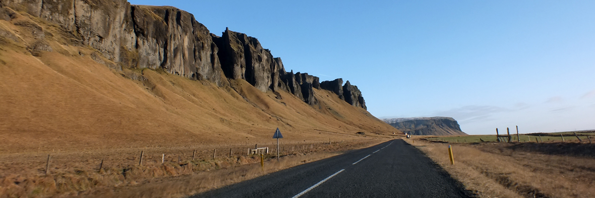
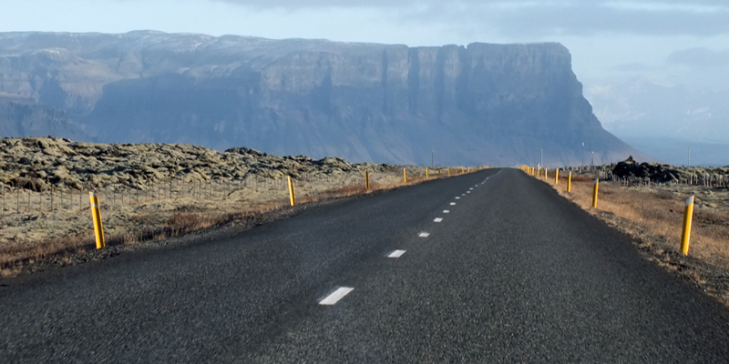
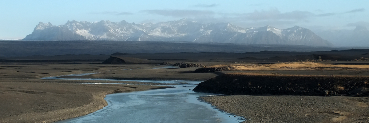
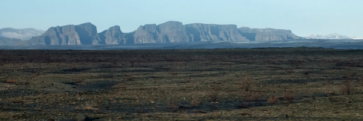
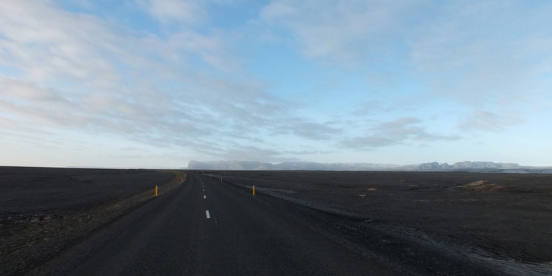
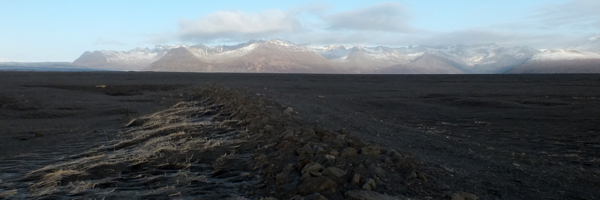
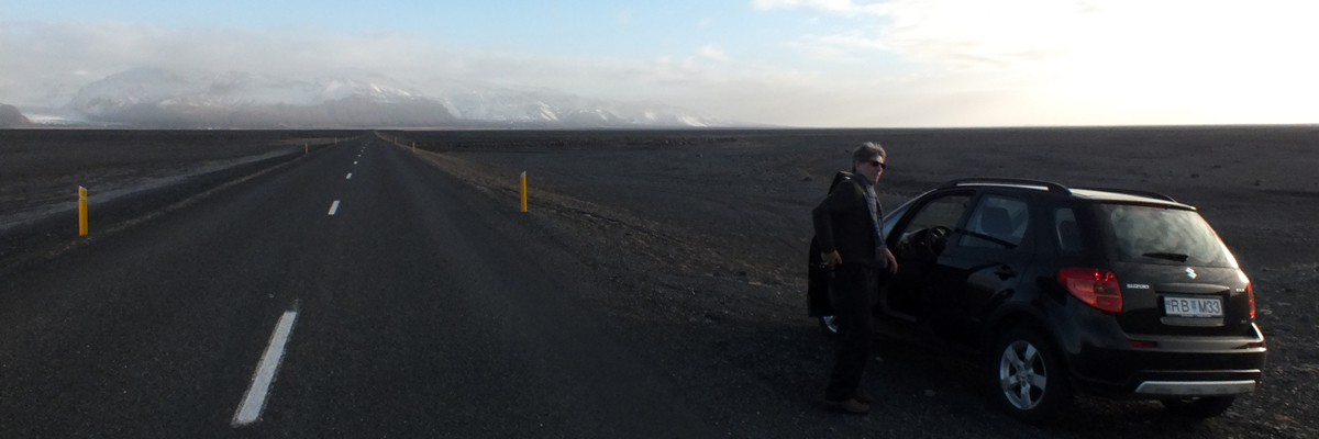
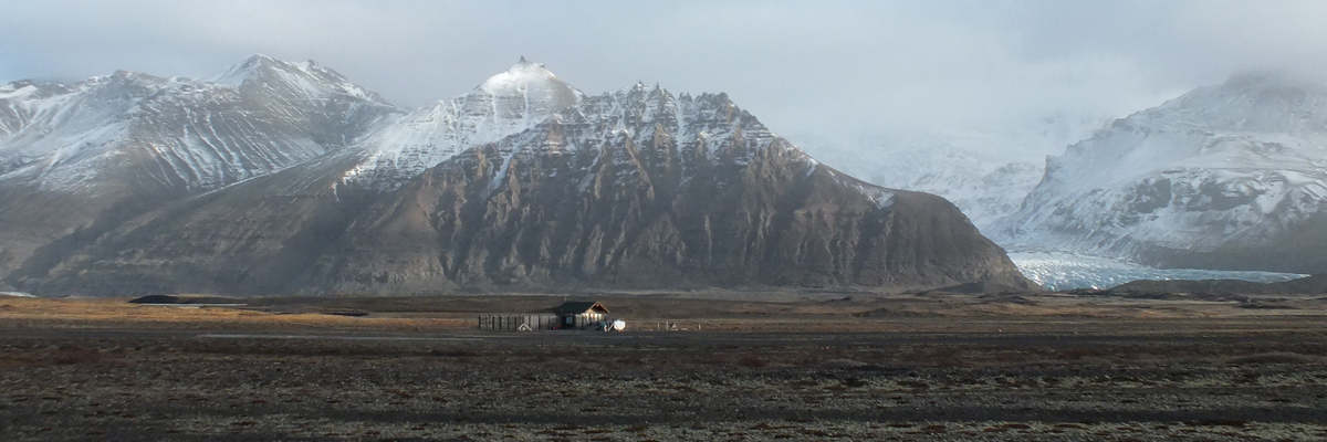
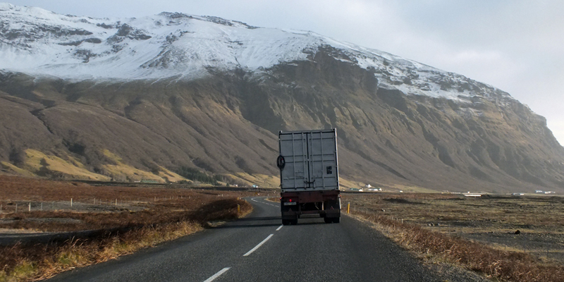
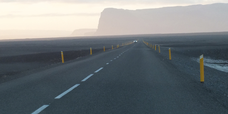
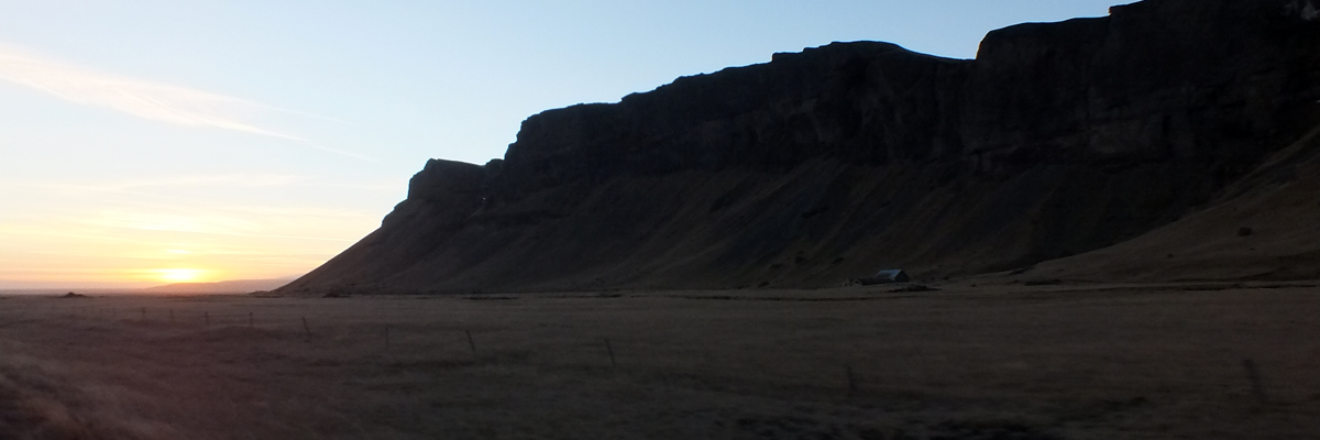
The road stays mainly on the plain, the sea to our right--sometimes miles away--
and the jagged weirdness of the cliffs and mountains to our left. There are still
obvious signs of the '96 flooding along the road, including the twisted wreckage
of a bridge, left as a monument at a roadside turnout. We stop for a bit at
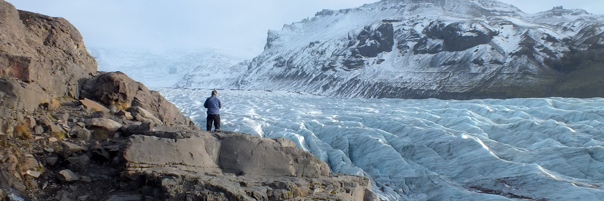
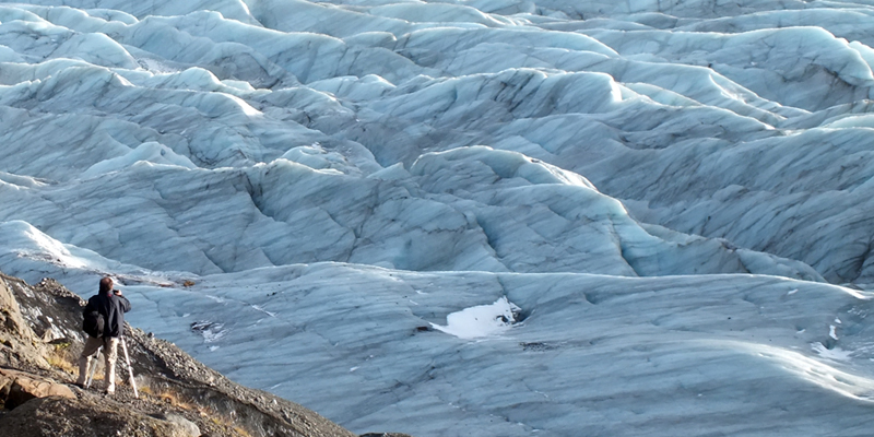
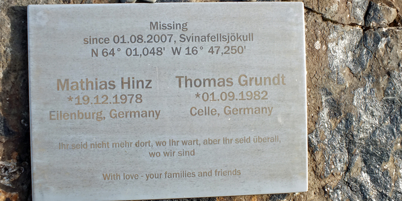
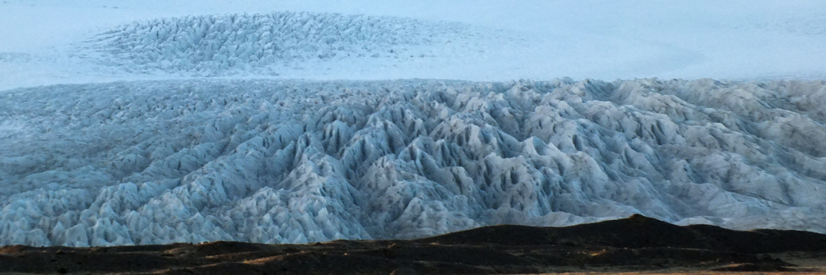
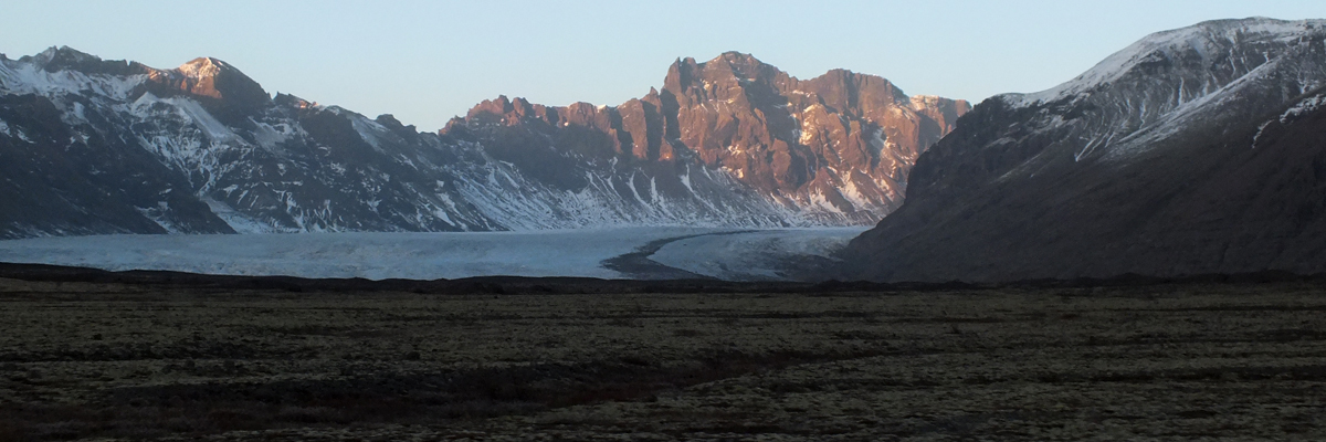
Svínafellsjökull, one of the glacial fingers reaching down through a gap. A
plaque nearby commemorates the disappearance of two German hikers in 2007,
a reminder that Iceland presents a wild and unforgiving landscape.
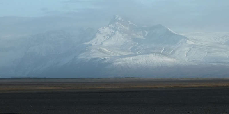
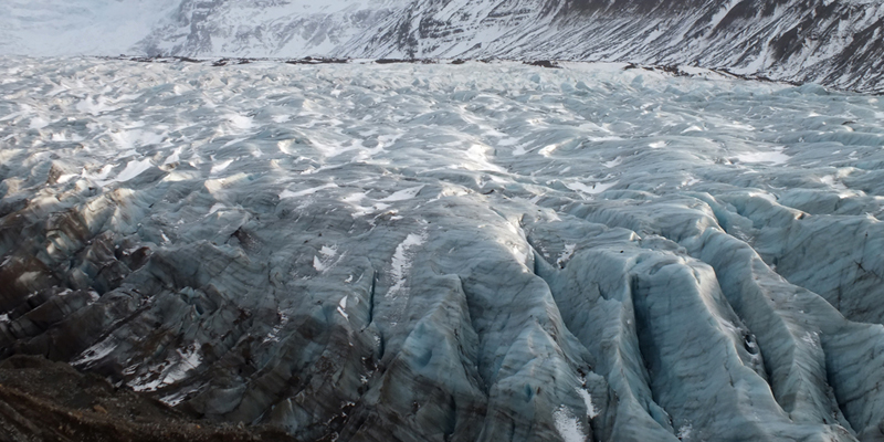
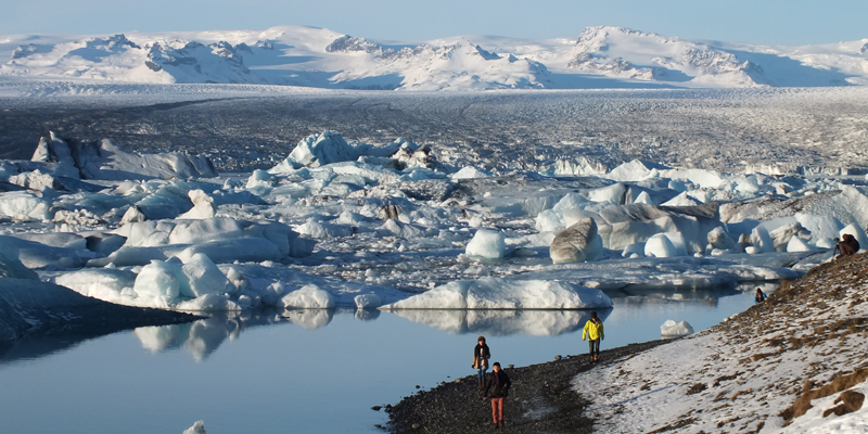
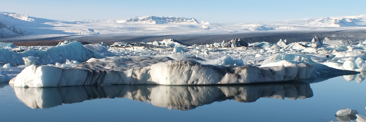
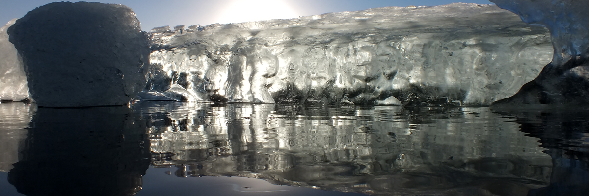
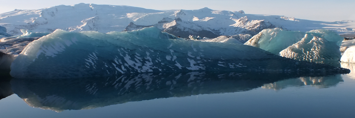
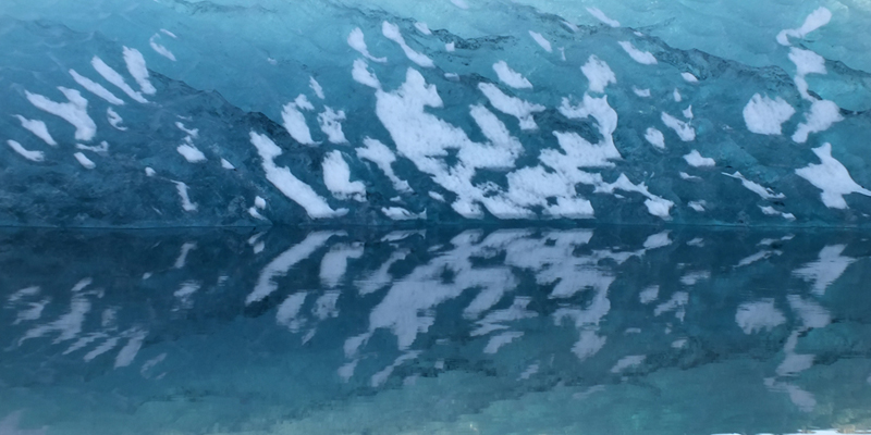
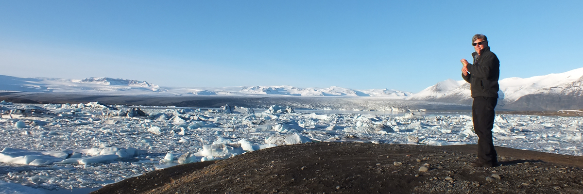
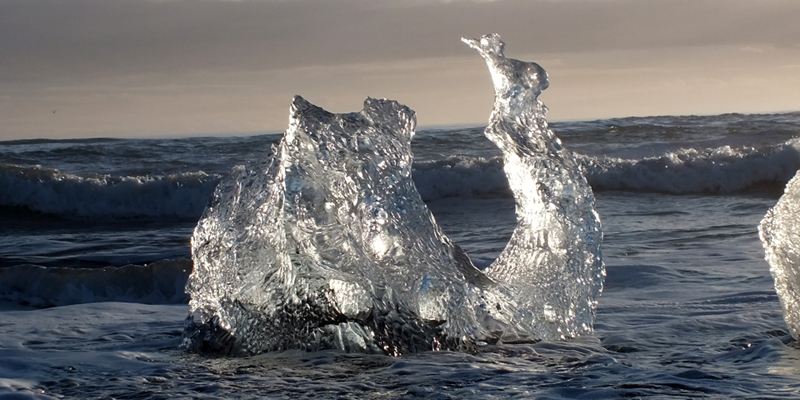
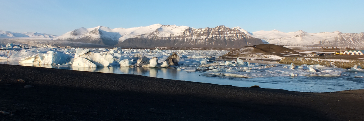
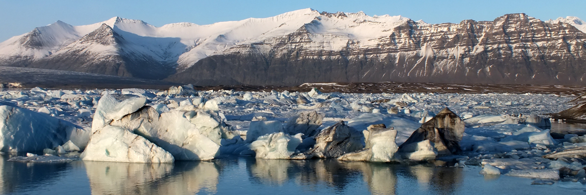
Our goal today is Jökulsárlón, an iceberg-dotted lagoon at the foot of
Breiðamerkurjökull, a tongue of Vatnajökull. This is a popular tourist spot in
summer, with amphibious tours in the lagoon and on the glacier. That's all shut
down for the season, but folks show up, anyway, to take their photos, just as we
are doing. I wouldn't say it's crowded here, but it's the most people we've seen all
day. They all must have come the same way we did, although we saw very few
other vehicles on our way here. I suppose a couple dozen cars strung out along
the road would be very unlikely to get in each other's way.
Drive back to Vík, looking at all the same scenery from the opposite angle, in the
late afternoon light. Our dinner at Halldórskaffi arrives in a timely manner.
Next
|