from Saguenay to Øresund

21 August 2015
The North Atlantic Arc Home
| August | September | October |
| S | M | T | W | T | F | S |
| 18 | 19 | 20 | 21 | 22 | ||
| 23 | 24 | 25 | 26 | 27 | 28 | 29 |
| 30 | 31 | 1 | 2 | 3 | 4 | 5 |
| 3 | ||||||
| 4 | 5 | 6 | 7 | 8 | 9 | 10 |
| 11 | 12 | 13 | 14 | 15 | 16 | 17 |
| 18 | 19 | 20 | 21 |
 |
|
Friday 21 August 2015--Every tourist who visits Quebec City learns that
the name is derived from a native word meaning "the place where the river
narrows". It is easy to see on the map that, heading downstream from the city, the
north and south banks diverge quite widely. L'Île d'Orléans, some twenty miles
long and five miles wide, appears to have drifted up against the current and then
lodged in the river's narrowing gullet, utterly unswallowable. Perhaps some vast
geologic Heimlich maneuver, applied to the Great Lakes, would send it hurtling
out into the Gulf of St Lawrence...or perhaps I am taking an already tenuous
simile much too far, as I often do. In any case, the water below the island begins
to be brackish, as the tides from the Gulf wash in and out twice daily. Wikipedia
lists the length of the St Lawrence River at an absurdly precise 743.8 miles,
putting its mouth somewhere in the vicinity of the giant Anticosti Island (which
either has already been coughed up, or is yet to be swallowed). I would rather
say that the river is only about 350 miles long, from its source at Lake Ontario
to Quebec City, or at most 370, to the far end of l'Île d'Orléans. After that,
it's the river's estuary, or as the Scots might call it, the Firth of St Lawrence.
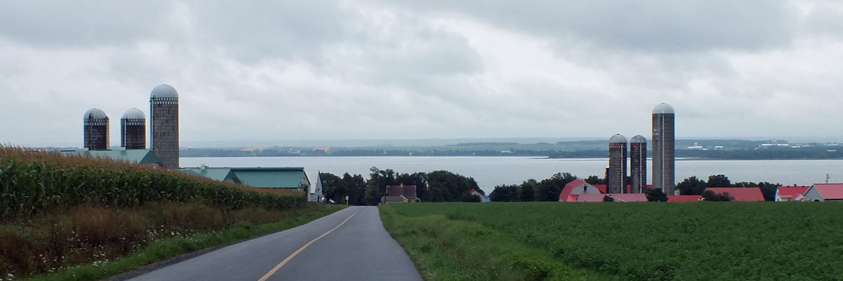
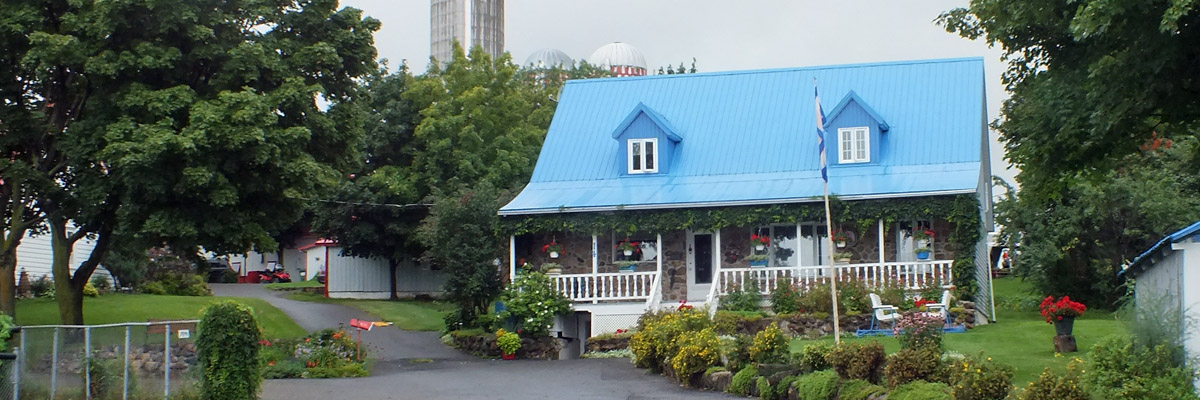
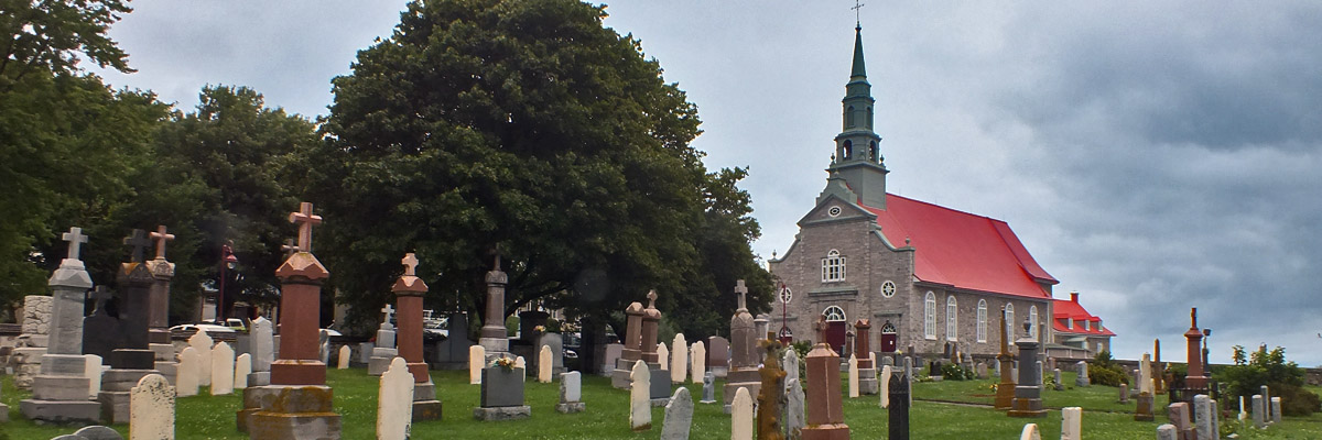
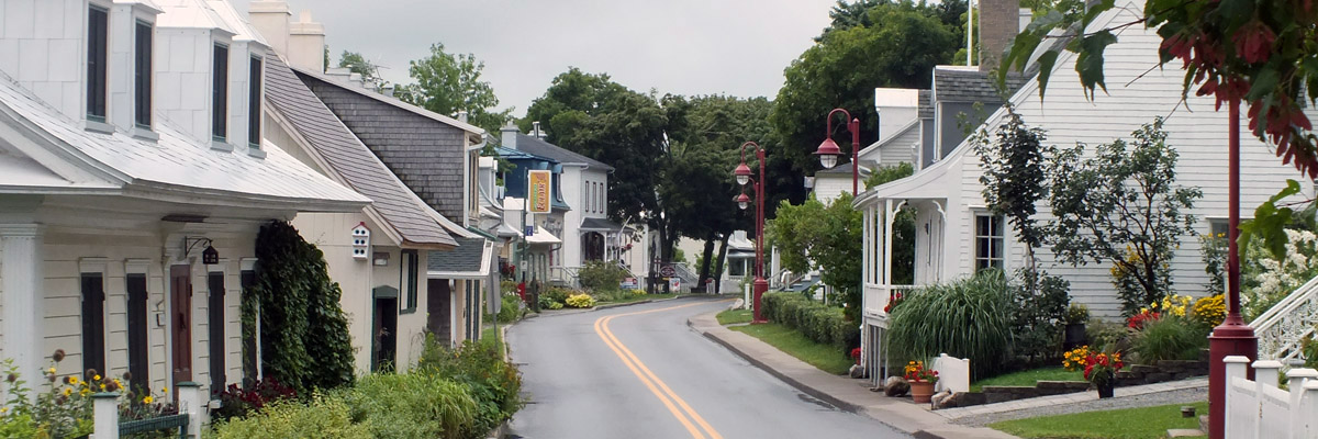
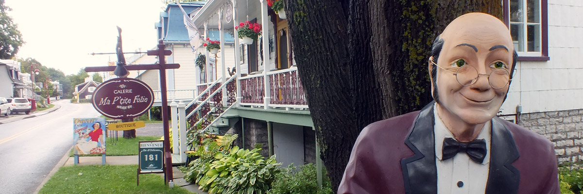
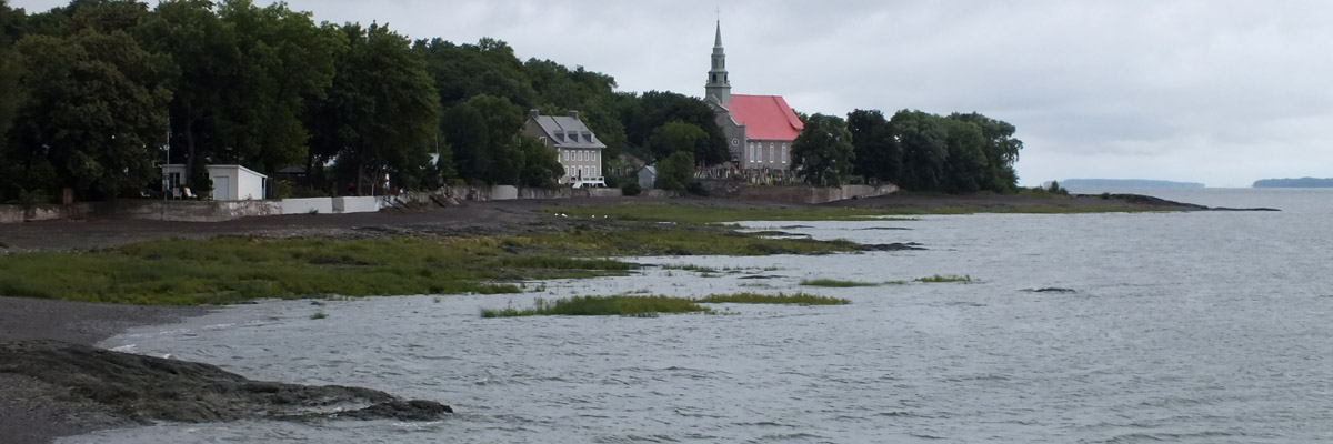
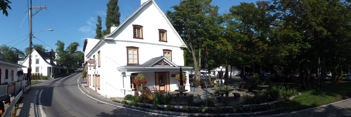
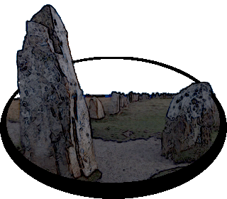
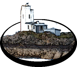
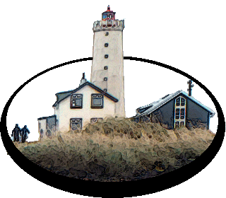
The Côte-de-Beaupré, the north shore of the river opposite the island, was one of the first areas in La Nouvelle France to be colonized in earnest, in the latter half of the 17th century, and l'Île d'Orléans along with it. Many of the old Québecois families trace their heritage here. Chicopee, Massachusetts, adjacent to my hometown of Springfield, would be one of the many New England destinations for migrating French Canadians in the 19th century, and I know of many families living there today named LaFlamme, to cite one example. Every LaFlamme in North America is descended from a Breton named Kemener (or Quémener) who lived at the eastern tip of the island. It was his duty to keep a light burning there, a rudimentary navigational aid. His vocational nickname, The Flame, became the family name of his many descendants. Today is my day to tour the island, but it's a rainy morning, so I go back to bed after breakfast. (I perhaps enjoyed the brewpub next door a bit more than I ought to have last night.) Finally up and out at 11:00, under gray skies. Despite its proximity to Quebec City, l'Île d'Orléans has retained its rural character over the centuries, not least, I suppose, because it was inaccessible by road before the bridge was built in the 1930s. River pilots and fishermen have given way to artists and innkeepers, but the bulk of the land is still agricultural. There's a road that rings the island, connecting its six villages. I've done this loop a couple of times over the thirty years I've been visiting the area. There are also four roads crossing the island, like rungs on a short ladder. Three of them are down toward the western end. The fourth crosses at the island's widest point, from Ste-Famille, where I'm staying, to the village of St-Jean-de-l'Île-d'Orléans, and I start by making this traverse. The farm fields I see on my way up the hill are divided into long, narrow strips, characteristic in a place where every farmer needed access to the river at one end of his property and a woodlot at the other. The road passes through a short stretch of woods, and shortly after does a zig-zag to meet up with the road down to St-Jean. I suppose that, when it was decided to build the road across, two farm tracks were chosen that weren't originally intended to meet up, but were fairly close. St-Jean is a charming village, and I hang around for some time, reading all the signboards about that explain points of interest and bits of social history. Have a café allong%eacute; at the local café/gallery and admire the (very expensive) paintings offered. Then I head toward St-François, at the eastern tip of the island. Along the way, I stop at a casse-croûte for a poutine made with potatoes from the adjacent farm. (Definitions: café allongé is a long espresso shot, popular in Québec; poutine is fries with cheese curds and gravy; and a casse- croûte is a roadside snack bar or fast food stand. Casse-croûte--literally, break-crust--was a tool for grinding up bread crusts for toothless old men.) Rain starts to fall steadily. I make the turn at St-François and head back for Ste-Famille...looks like an afternoon for the pub. But it occurs to me to visit one of the island's cidreries, so I continue on toward St-Pierre, the village closest to the bridge. Domaine Steinbach offers a variety of ciders and other gustatory delights. I buy a few bottles and then move on to Monna et Filles. The specialty here is cassis--blackcurrant wine and liqueurs. I used to stop in here occasionally with a busload of tourists, but it's been a while, and there has been a good deal of expansion and improvement. Another bottle goes in the trunk. What do you know, the sky is clear and sunny now. On to Ste-Pétronille, the pretty village at the island's western tip. Take a stroll around and admire the views. During his siege of Quebec City in 1759, the British General James Wolfe camped here to keep an eye on things. Later, the area was a popular summer retreat for well-to-do English. There are virtually no anglophones living here now, but several inns, a golf course, and a chocolaterie still draw tourists. Drive through the village of St-Laurent, once the center of boat-building hereabouts, to St-Jean, and then back over the road to Ste-Famille. Clean up at the B&B, and stroll around the grounds of the church, which houses a genealogical center. Pub Le Mitan, the brewpub, for dinner and pints. It turned out to be a pretty good day, if a rather short one. I didn't get to everything I had in mind, but I rarely do. Could spend a few more days here, easily. Next |
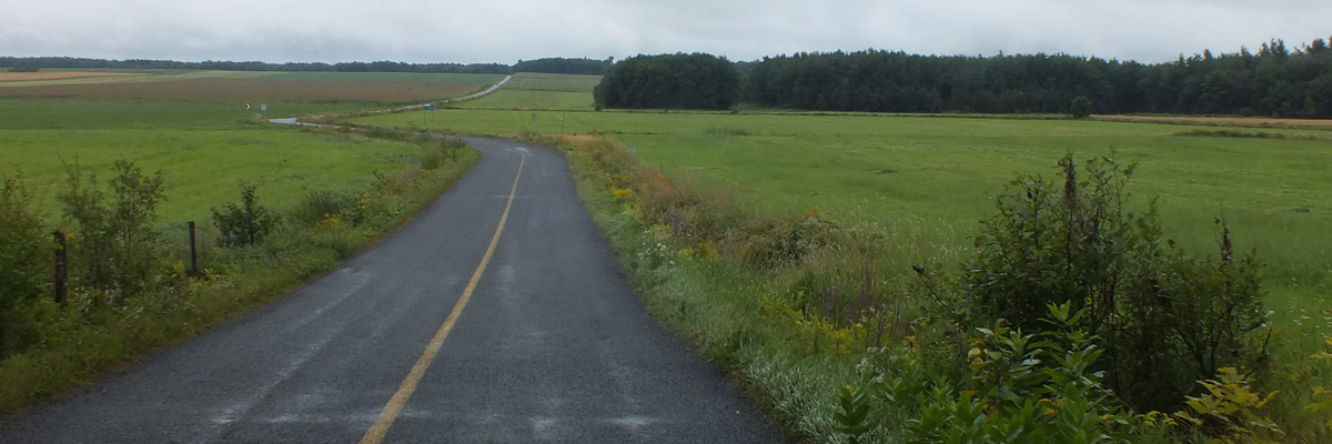 |
Crossing The Island
 |
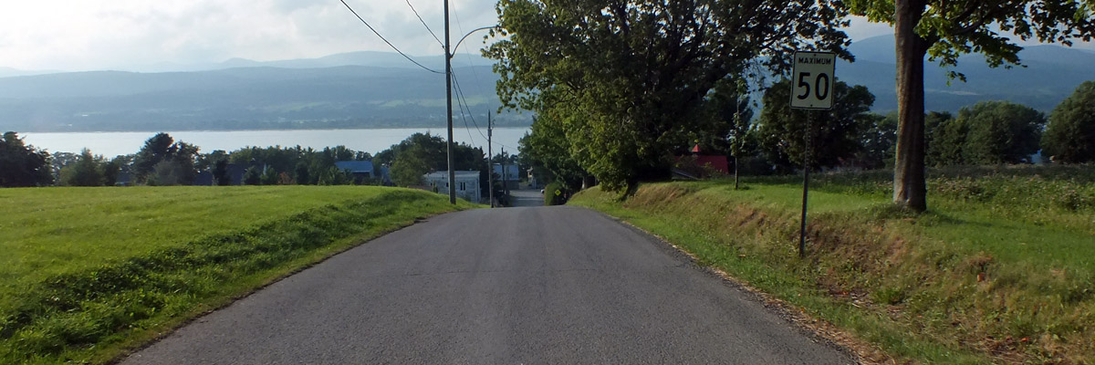
Approaching St-Jean-Île-D'Orléans
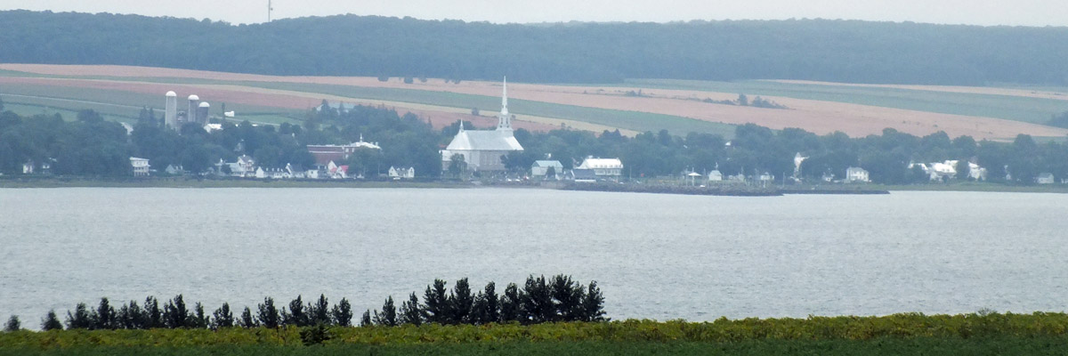 |
Saint-Michel, South Shore
 |
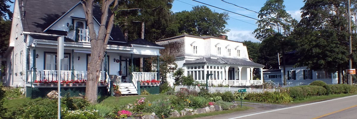
St-Jean-Île-D'Orléans
 |
Presbytère St-Jean-Île-D'Orléans
 |
St-Jean-Île-D'Orléans
 |
St-Jean-Île-D'Orléans
 |
St-Jean-Île-D'Orléans
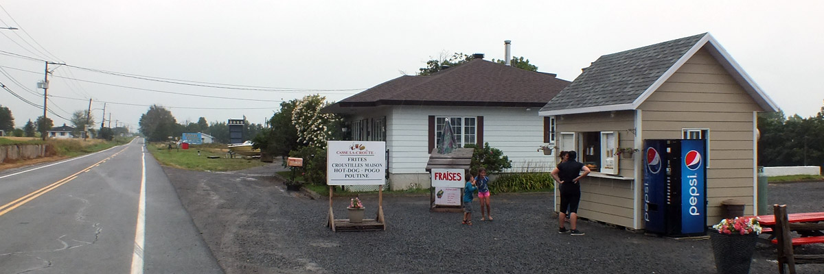 |
Casse-Croûte
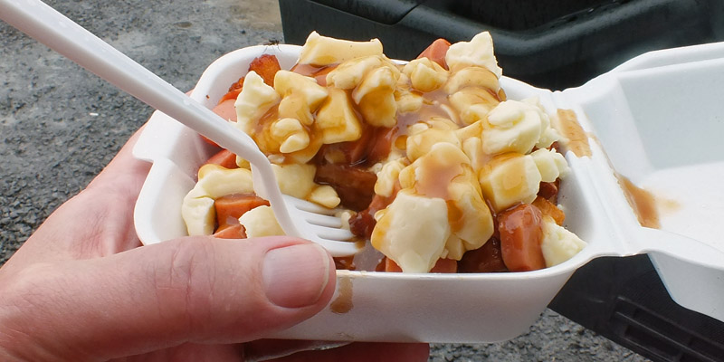 |
Mmmm, Poutine
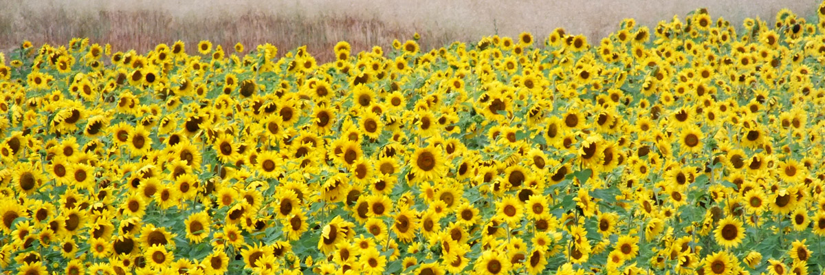 |
Tournesols
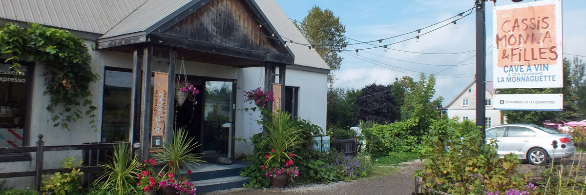 |
Cassis Monna & Filles
 |
Église Sainte-Pétronille
 |
Sainte-Pétronille
 |
Sainte-Pétronille
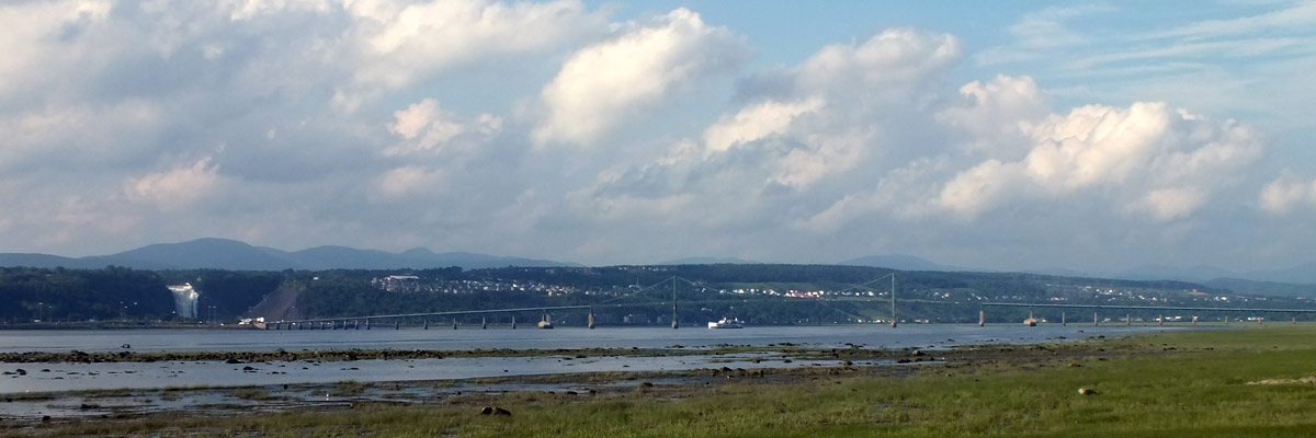 |
Pont de l'Île-D'Orléans
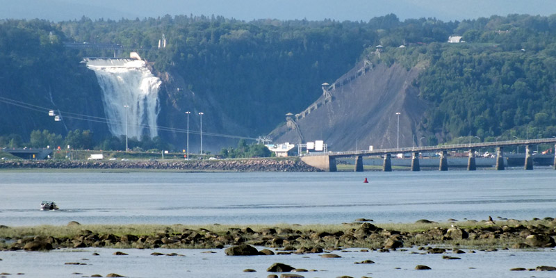 |
Chute Montmorency
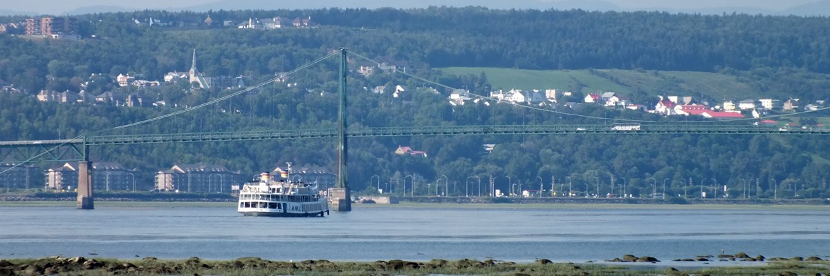 |
The Louis-Jolliet
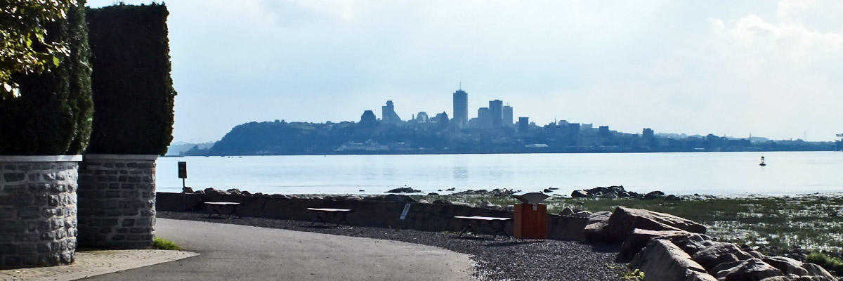 |
Québec From Sainte-Pétronille
 |
Return To Sainte-Famille
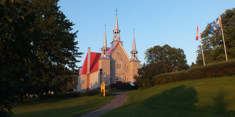 |
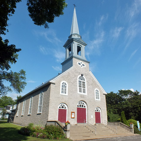
Église de la Sainte-Famille
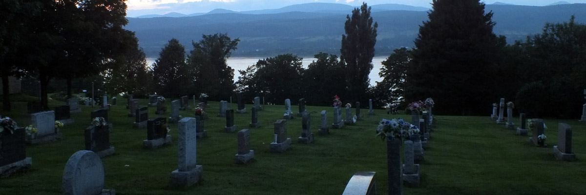 |
Twilight On The St Lawrence
Next
| August | September | October |
| S | M | T | W | T | F | S |
| 18 | 19 | 20 | 21 | 22 | ||
| 23 | 24 | 25 | 26 | 27 | 28 | 29 |
| 30 | 31 | 1 | 2 | 3 | 4 | 5 |
| 3 | ||||||
| 4 | 5 | 6 | 7 | 8 | 9 | 10 |
| 11 | 12 | 13 | 14 | 15 | 16 | 17 |
| 18 | 19 | 20 | 21 |
The North Atlantic Arc Home
Mr Tattie Heids Mileage
Results may vary