
Friends In Three Countries

2 October 2017
The North Atlantic Arc Home
| September | /October/ | November |
| S | M | T | W | T | F | S |
| 24 | 25 | 26 | 27 | 28 | 29 | 30 |
| 1 | 2 | 3 | 4 | 5 | 6 | 7 |
| 8 | 9 | 10 | 11 | 12 | 13 | 14 |
| 15 | 16 | 17 | 18 | 19 | 20 | 21 |
| 22 | 23 | 24 | 25 | 26 | 27 | 28 |
| 29 | 30 | 31 | 1 |
 |
|
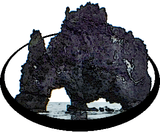
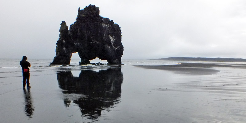
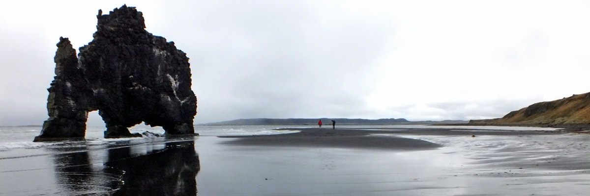
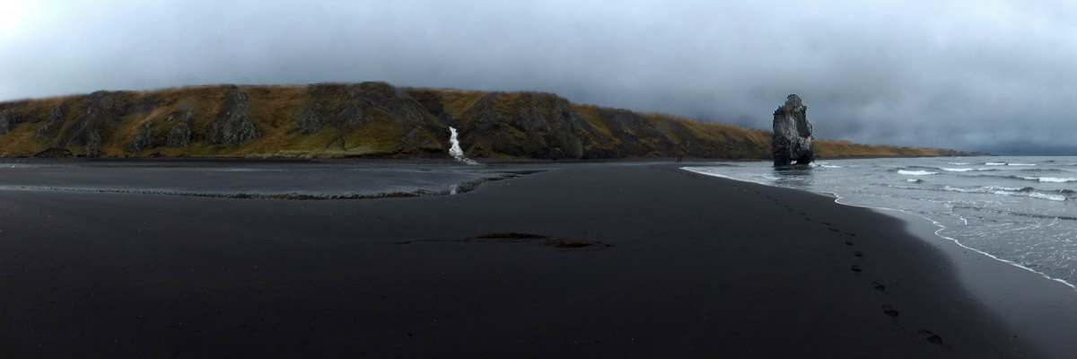
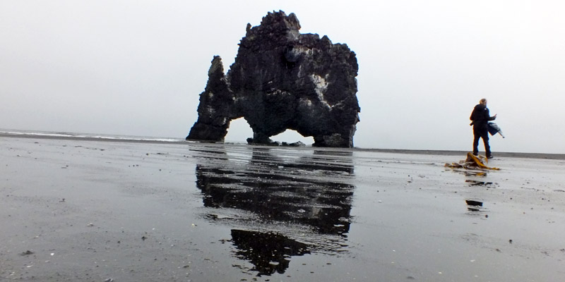
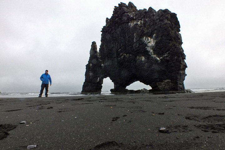
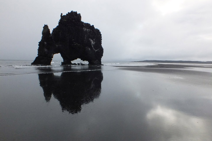
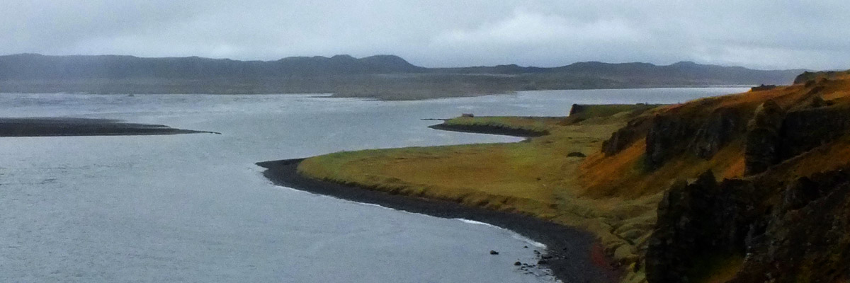
Monday 2 October 2017--Hvítserkur, a picturesque fifty-foot slice of
volcanic basalt, stands on a beach on the far side of the Vatnsnes peninsula
from Hvammstangi. Beguiled by a photo in a guide book, Win and I went off in
search of it after our memorably unremarkable lunch, not at all sure where exactly
it was, hindered for a stretch by a foot of loose sand left by a road-grading crew
(not to mention their very unhelpful directions). I know where it is now, so Marc
and I are there in quick order this morning. I'm sorry at first that there is no sun,
but on the plus side, the tide is lower than it was my last time here, and I am able
to descend to the beach for photos. The moody light turns out to be just fine.
The name means "white shirt"; I understand the white part, the rock being
splattered with guano, but I don't know who's supposed to be wearing a shirt.
Hvítserkur is variously described as a troll (caught out after sunrise and turned
to stone, as the dimwitted trolls so often seem to be), or a dragon drinking from
the surf. I've always thought it looks like some sort of hump-backed buffalo.
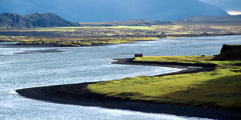
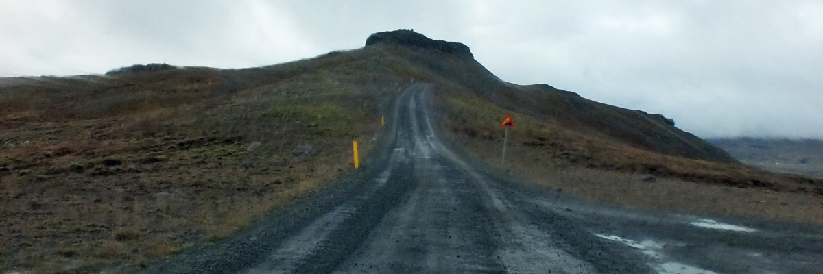
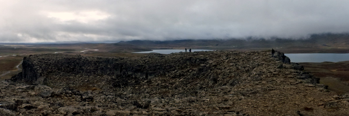
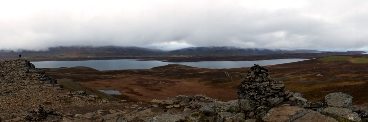
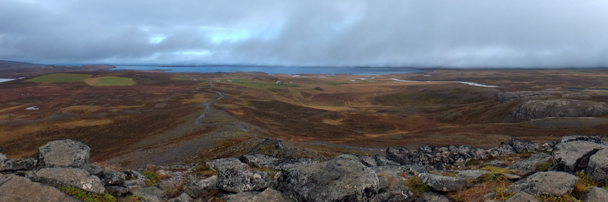
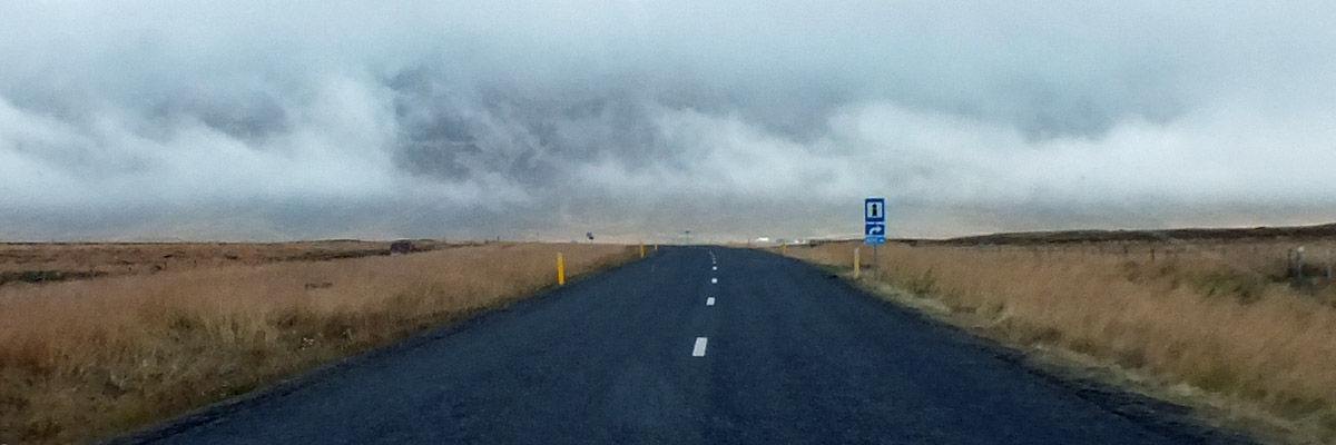
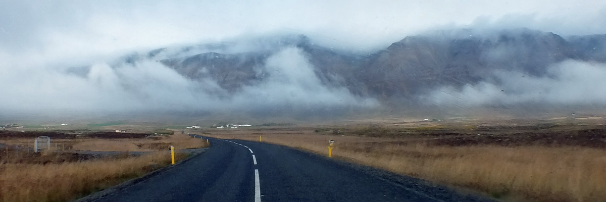
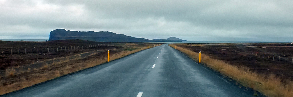
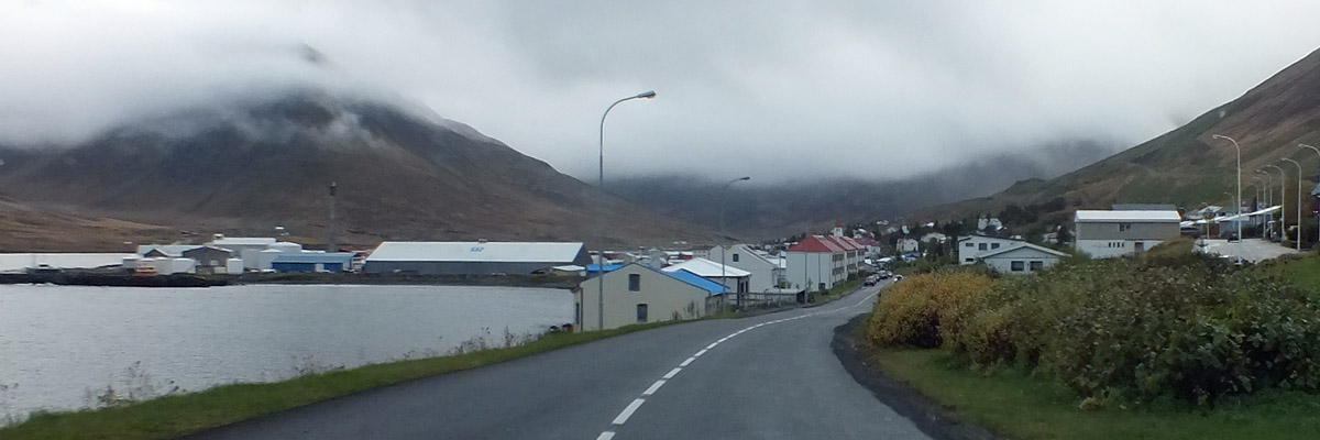
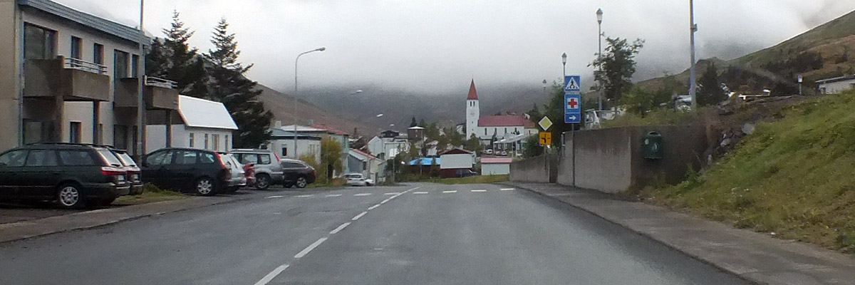
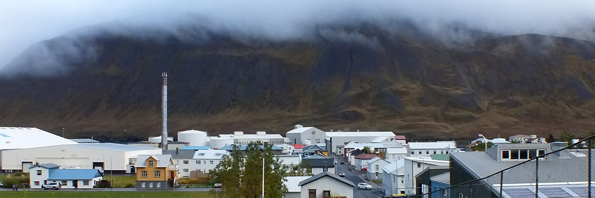
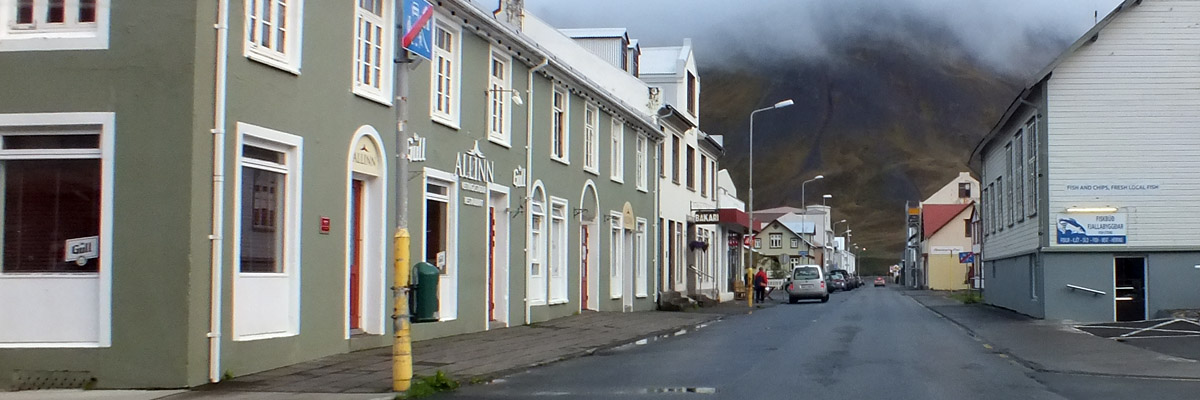
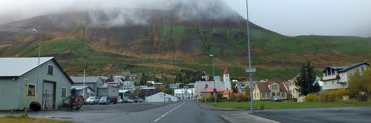
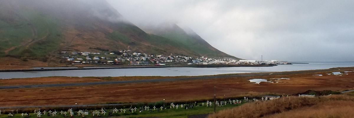
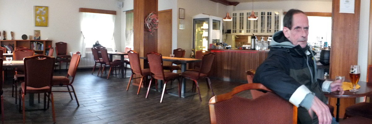
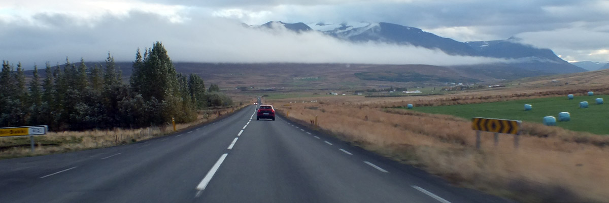
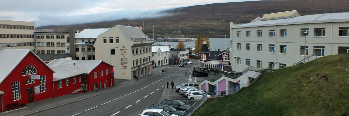
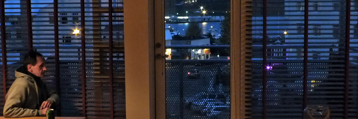
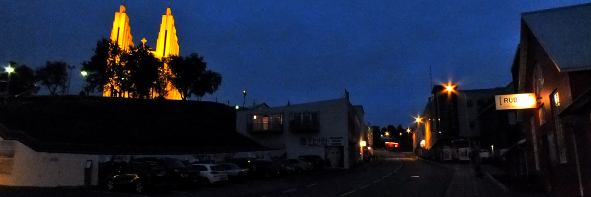
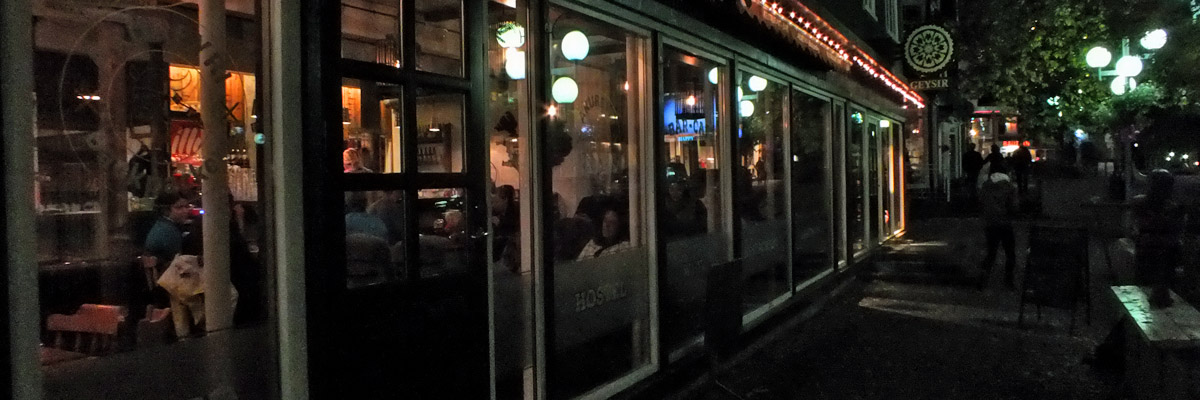
Borgarvirki is twenty minutes along. Atop a hill stands a C-shaped ring of basalt columns. There is fortification on the open side, and remnants of buildings and a well within. Although the hill is not all that high, there is a dominating view over the broad fertile valleys of Viðidalur and Vatnsdalur. There are a couple of vague historical references to sieges of Borgarvirki, but little is known about who occupied it, when, and why. We are back on the Ring Road for a short stretch, turning off again just past the service center of Blönduós. Route 744 cuts through a series of dales at the base of the large peninsula called Skagi. The word apparently means "peninsula", and it gives its name to Skagafjörður, the body of water to the east and the large municipality that occupies its shores and the valleys above. We drive through Sauðárkrókur (pop 2500+), the second-largest town in northern Iceland. The mural of a shrimp on the side of a processing plant gives an indication of one mainstay of the local economy, but there are also agriculture, financials, IT, and engineering. It's a booming little burg. We could be in Akureyri in another hour and a half, but I want to have a look at Siglufjörður, a town of about 1300 up at the north of the peninsula between Skagafjörður and Eyjafjörður. This is the setting for Ragnar Jónasson's Dark Iceland series, which features Detective Ari Thór, a fish-out-of-water transplant from Reykjavík. Siglufjörður claimed at one time to be the herring capital of the world (as have several other places, notably Wick in northern Scotland), but the herring are long gone. Fishing is nevertheless still central to the local economy. Just 25 miles from the Arctic Circle, the town was accessible only by sea until a road was cut over the mountain to the west, in 1940. Even then, the pass was closed for the long winter months, and it was only in 1967 that year-round road access was assured, with the completion of a road and tunnel along the coast to the north and west. Another pair of tunnels, completed in 2010, lead southeast to Ólafsfjörður, which has enjoyed a road link south to Akureyri since the construction of yet another tunnel in 1991. Remembering the scenic old mountain roads in the Faroe Islands, I'm intrigued by the old route into Siglufjörður. It's classed as a four-wheel track, though, probably quite a bit rougher than the road in the Westfjords that we shouldn't have been on. We take the coastal road, through the half-mile Strákagöng (tunnel), and meander through town a bit before stopping at the local Vínbúðin to replenish our beer supply. I ask whether there might be a nice café nearby, thinking to have a cup of coffee and soak up a little of the local atmosphere. The place we're sent to, just down the street, looks nice enough, but is closed for some reason--we can't decipher the handwritten sign on the door. Drive on through the Héðinsfjarðargöng pair, one a little over two miles in length, the other about four. The half-mile bit of road between them crosses a nearly uninhabited valley, draining into remote Héðinsfjörður. I guess there is a farm here, and maybe another nearby, but there isn't much sign. Locals have for many years sailed up the fjord to fish and hike in this quiet idyllic dale. I'm sure most of them were not happy to have the road pass through. Seven years on, the place doesn't appear to have been spoiled yet. We stop at Gistihús Jóa in Ólafsfjörður for a belated coffee break. It's late enough for Marc to have a beer. The tunnels have been successful in stopping depopulation here and in Siglufjörður, and the residents are reportedly pleased with the improved economy and quality of life. However, an expected tourist route hasn't really materialized. This guesthouse seems to be doing all right. Roll into Akureyri at about 5:00. This is the largest town in Iceland outside the capital area, with a population of about 18,000. The Viking Helgi the Slim was the first settler, in the 9th century. When the first municipal charter was granted in 1786, the population was twelve. Real growth didn't begin until late in the 19th century, moreso in the 20th, as Icelandic society in general became more urbanized. Fishing is the big thing here, of course, but as the town has grown, so has its economy. The University of Akureyri was founded in 1987. Our Airbnb looked good in the online photos, and it does not disappoint when we arrive. There are two comfortable bedrooms and an open living/kitchen area, with a balcony overlooking the intersection with the main street below, and the fjord beyond. We settle in with a beer and a dram, and then head out for dinner. We've picked a casual steakhouse which is not terribly expensive, and not terribly good. We console ourselves with pints at R5 Micro Bar. The tables, all slabs cut from a single driftwood log, remind us of La Souche, a brewpub in Quebec City. Our conversation centers on the decision we must make in the morning. There is still no word on the washed-out road in the east. Next |
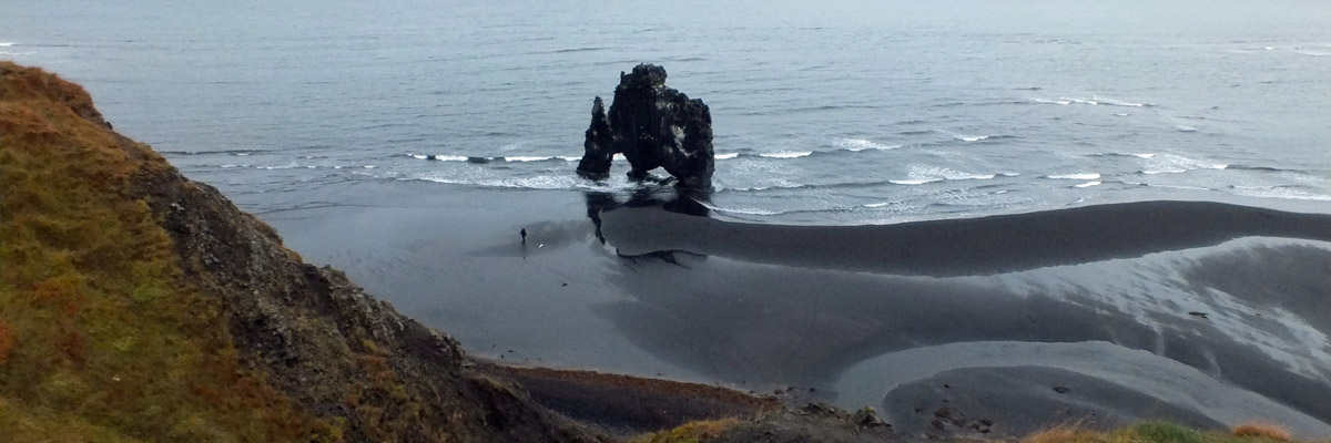 |
Hvítserkur
 |
On The Beach
 |
Scenic
 |
Profile
 |
Arty
 |
Selfie
 |
Portrait
 |
Familiar Scene...
 |
...From 1999
 |
Borgarvirki
 |
Borgarvirki
 |
Borgarvirki
 |
Borgarvirki
 |
Borgarvirki
 |
Back On...
 |
...The Road
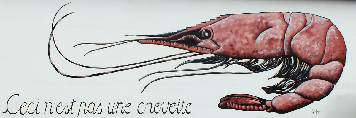 |
Sauðárkrókur
Mural on Dögun processing plant by Guðbrandur Ægir Ásbjörnsson
 |
Mountains
 |
No, Really
 |
Málmey
 |
Siglufjörður
 |
Siglufjörður
 |
Siglufjörður
 |
Siglufjörður
 |
Siglufjörður
 |
Siglufjörður
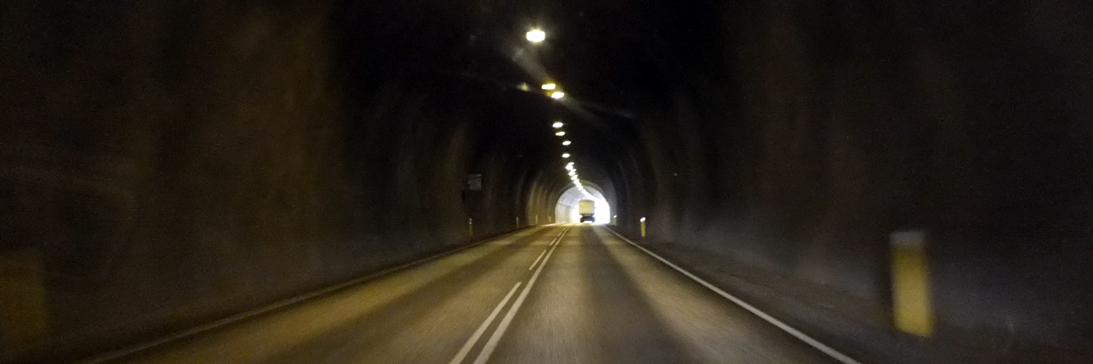 |
Héðinsfjarðargöng
 |
Gistihús Jóa, Ólafsfjörður
 |
On To Akureyri
 |
From Our Balcony
 |
Evening Falls
 |
We Left The Light On
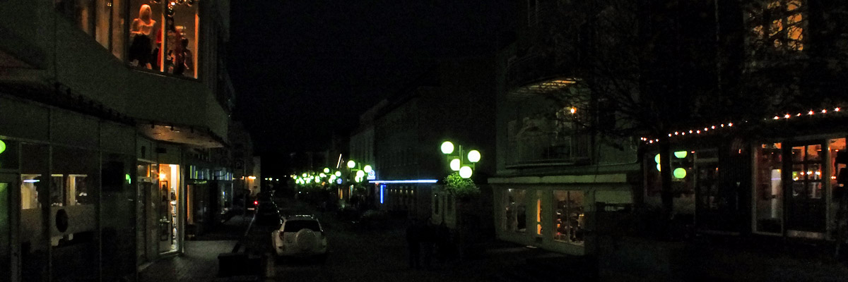 |
Hafnarstræti
 |
Akureyri Backpackers
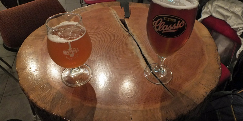 |
R5 Micro Bar
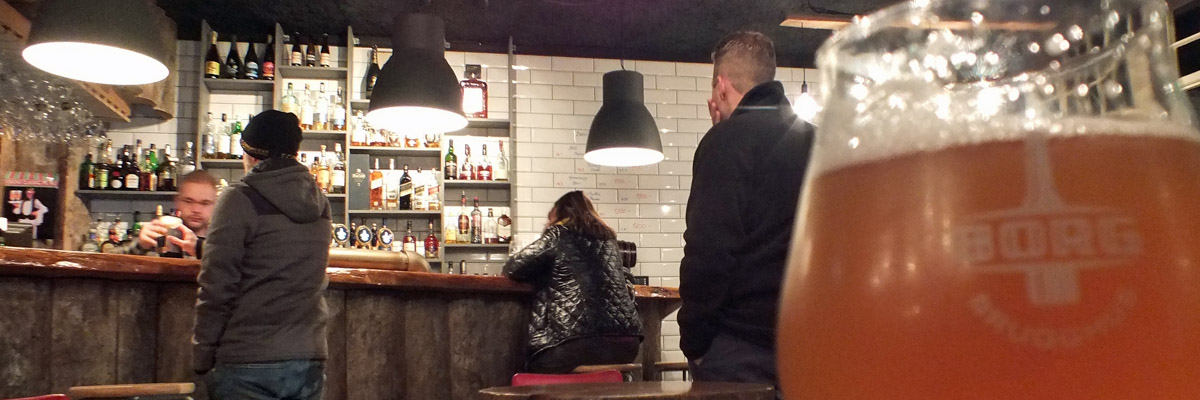 |
R5 Micro Bar
From Hvammstangi To Akureyri
Next
| September | /October/ | November |
| S | M | T | W | T | F | S |
| 24 | 25 | 26 | 27 | 28 | 29 | 30 |
| 1 | 2 | 3 | 4 | 5 | 6 | 7 |
| 8 | 9 | 10 | 11 | 12 | 13 | 14 |
| 15 | 16 | 17 | 18 | 19 | 20 | 21 |
| 22 | 23 | 24 | 25 | 26 | 27 | 28 |
| 29 | 30 | 31 | 1 |
The North Atlantic Arc Home
Mr Tattie Heid's Mileage
Results may vary