from Saguenay to Øresund

20 August 2015
The North Atlantic Arc Home
| August | September | October |
| S | M | T | W | T | F | S |
| 18 | 19 | 20 | 21 | 22 | ||
| 23 | 24 | 25 | 26 | 27 | 28 | 29 |
| 30 | 31 | 1 | 2 | 3 | 4 | 5 |
| 3 | ||||||
| 4 | 5 | 6 | 7 | 8 | 9 | 10 |
| 11 | 12 | 13 | 14 | 15 | 16 | 17 |
| 18 | 19 | 20 | 21 |
 |
|
Thursday 20 August 2015--Coffee and muffin at Tim Horton's on the
commercial strip outside town, then north on Route 133, which hugs the east
bank of the Richelieu. It's a pretty drive, passing through a handful of riverside
villages. The river runs almost due north, draining Lake Champlain into the St
Lawrence River. From Beloeil to Sorel, a stretch of about 35 miles, there is no
bridge, but three cable ferries make the crossing at intervals.
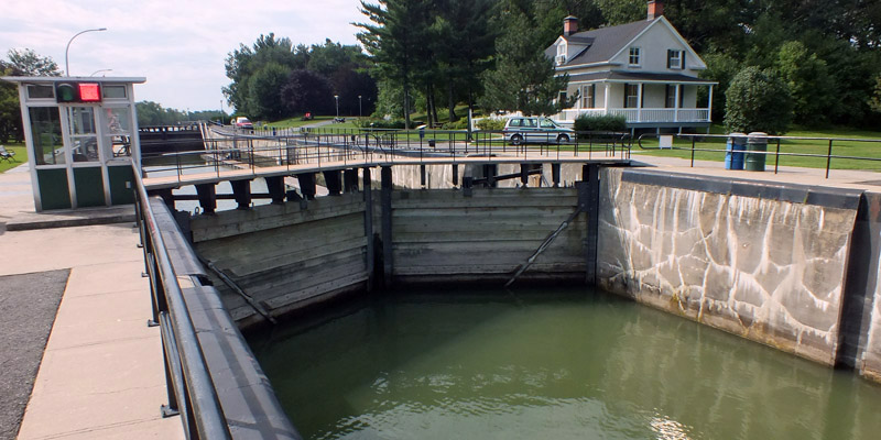
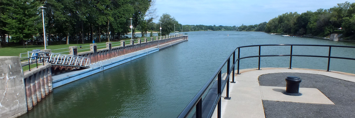
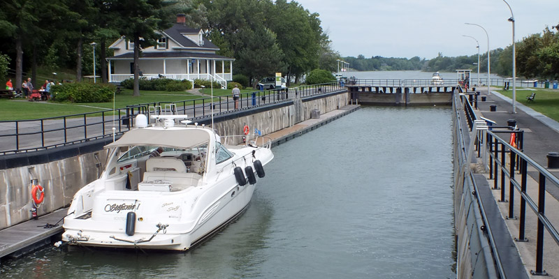
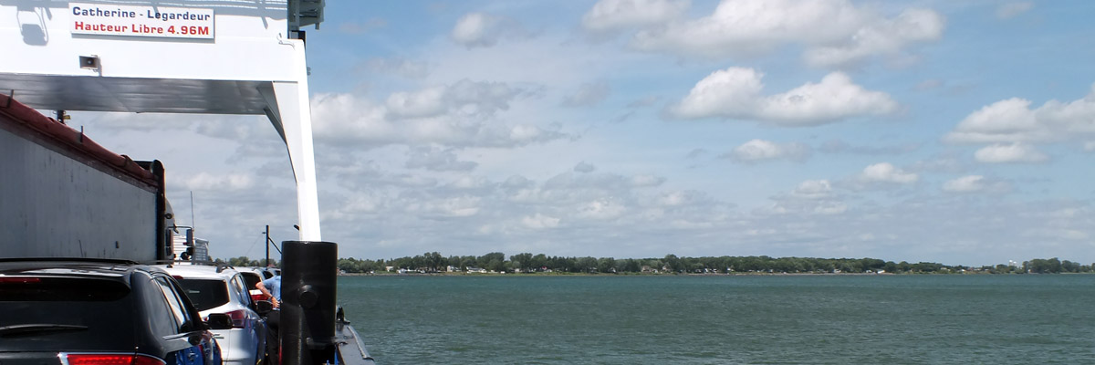
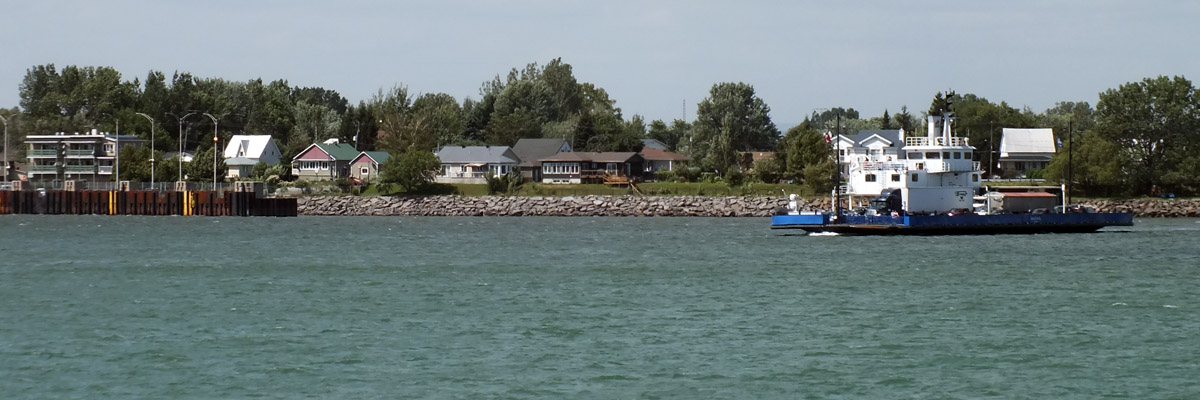
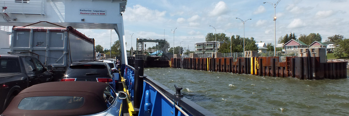
The Richelieu was a vital corridor in colonial days, and 19th-century canals improved transportation. The 7.5-mile Chambly Canal bypasses rapids between St-Jean-sur-Richelieu and Chambly, and the 25-mile Champlain Canal links Lake Champlain to the Hudson River, allowing passage to New York, and the Erie Canal, as well. This morning I stop at St-Ours to view the single lock there, the last step down on the way to the St Lawrence. A short way downstream, I take the cable ferry from St-Ours to St-Roch, just to do it. Backtrack to the ferry from St-Antoine to St-Denis, and resume my trip up the east side of the river. It's only on the second pass by L'Eau Pen Bar in St-Ours that I get the joke. The river drive ends at Sorel (officially Sorel-Tracy, after amalgamation with the neighboring town). It might be worth a stop to look around, being the fourth oldest city in the province, but I head straight to the terminal for the ferry across the St Lawrence. The parts of town I do see are not particularly charming. There is a rather long queue at the terminal, but it moves fairly quickly, as three ferries are providing nearly continuous service. The landing on the other side is at the village of Saint-Ignace-de-Loyola, which is not actually on the north shore of the river, but on Île Saint-Ignace. This is one of the Sorel Islands, which form a delta where the St Lawrence broadens out into Lac St-Pierre. Route 158 crosses the fields and meadows of two more islands to Berthierville, on the north shore proper, and there I turn northeast on route 138, the old Chemin du Roy, the King's Road, headed for Quebec City. I'm thinking I will have to cut over to route 40, the main highway, at some point to make time, but the older road is more open than expected. I drive 100 to 110 kilometers per hour on the long 90 kph stretches, with impatient locals tight on my tail. Towns like Louiseville, La Pérade, and Portneuf don't take much time to pass through, and even Trois-Rivières, the one real city along the way, isn't that bad. It's a nice drive, with plenty of lovely views over the great river. At L'Ancienne-Lorette, hometown of Patrice Bergeron, I jump on the highway at last to skirt Quebec City. The 40 descends to the river just a mile from the bridge to L'Île d'Orléans. I cross the bridge, turn left at the island's only traffic light, and drive ten miles to the village of Sainte-Famille. Arrive at 6:30. My B&B is next door to Pub Le Mitan, the island's one brewpub. How about that. Next |
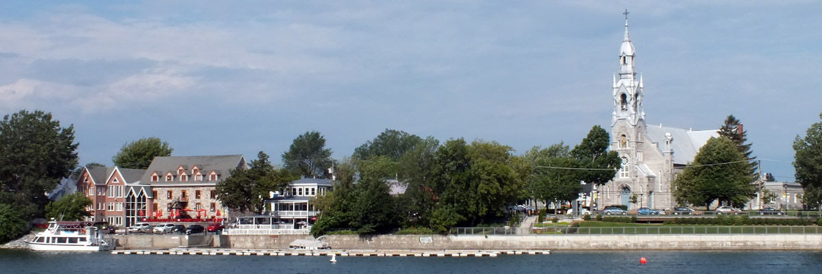 |
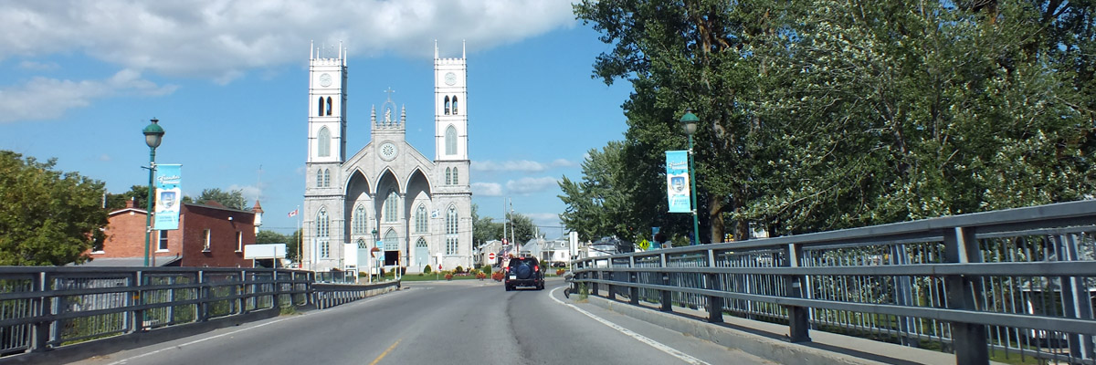
Beloeil
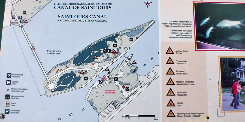 |
Canal-de-Saint-Ours
 |
Canal-de-Saint-Ours
 |
Canal-de-Saint-Ours
 |
Canal-de-Saint-Ours
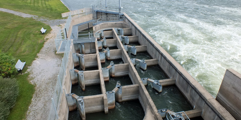 |
Fish Ladder
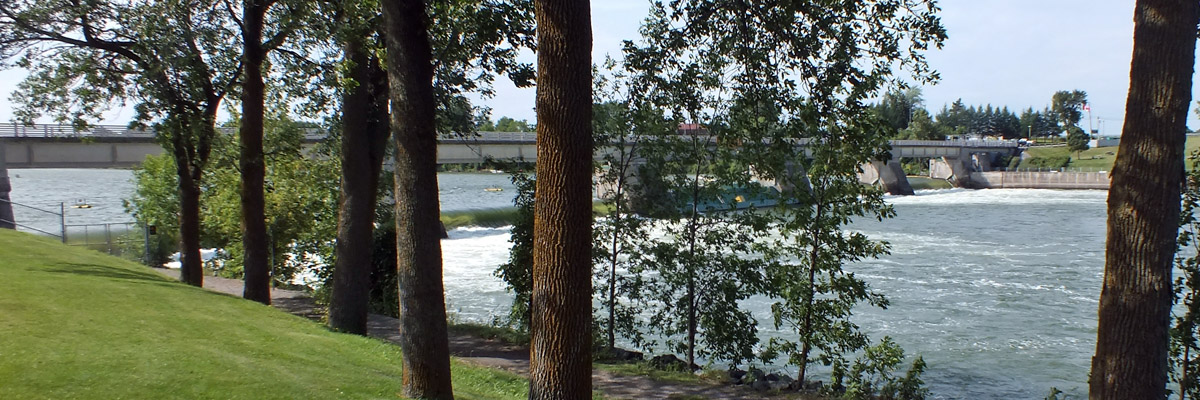 |
Dam
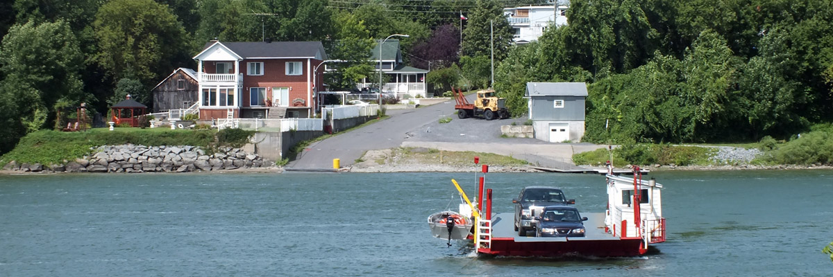 |
Cable Ferry, St-Ours--St-Roch
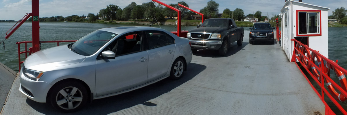 |
Aboard The Ferry
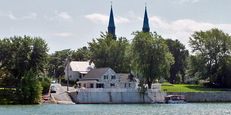 |
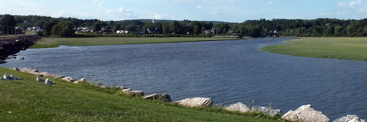
St-Denis
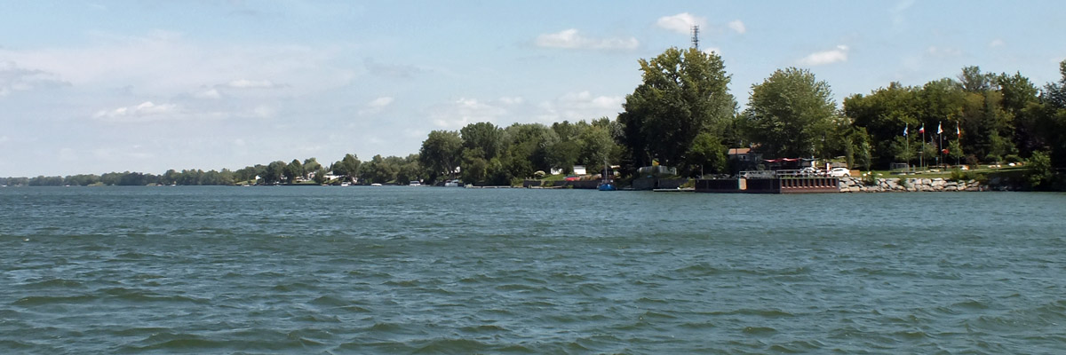 |
On The Richelieu
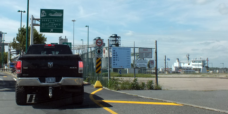 |
Boarding At Sorel-Tracy
 |
Saint-Ignace-de-Loyola
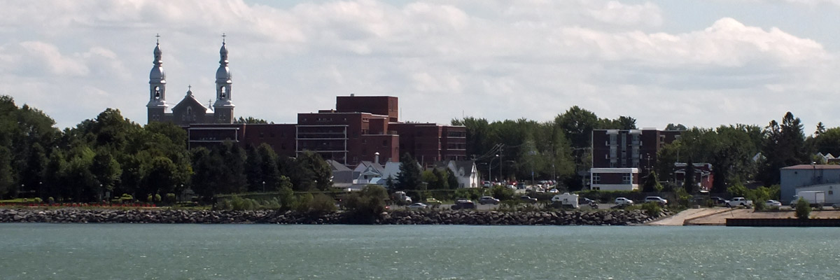 |
Sorel-Tracy
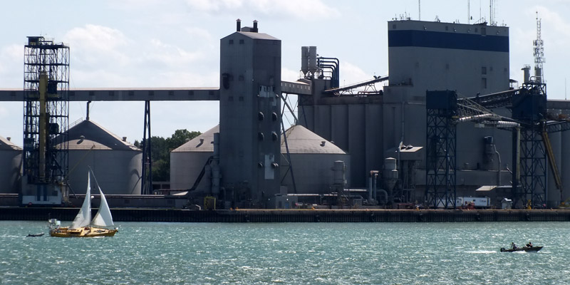 |
Sorel-Tracy
 |
Crossing The St Lawrence
 |
Opposite Number
 |
Landing
 |
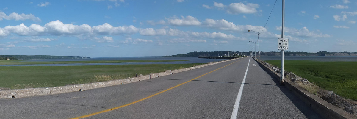
Short Line
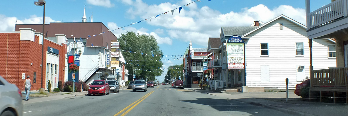 |
Louiseville
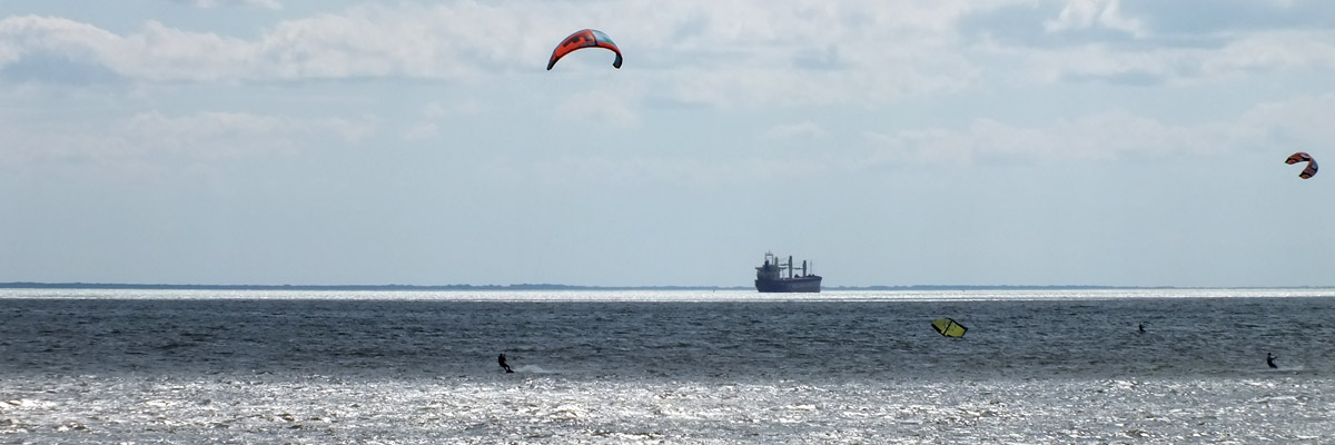 |
Parasailing on Lac-St-Pierre
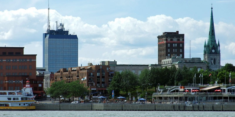 |
Trois-Rivières (July 2011)
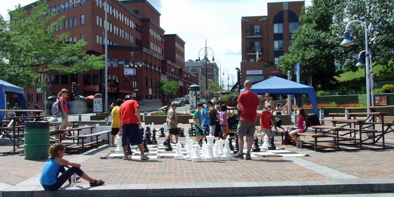 |
Trois-Rivières (July 2011)
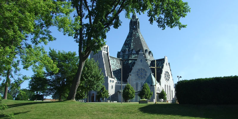 |
Cap-de-la-Madeleine (July 2011)
 |
La Pérade
 |
Portneuf
 |
Portneuf
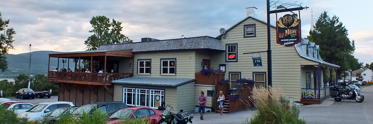 |
Pub Le Mitan
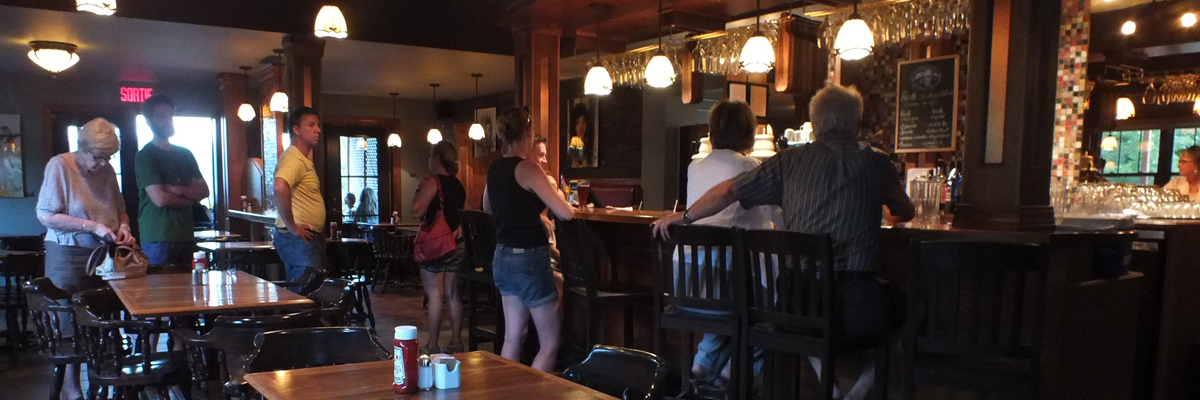 |
Pub Le Mitan
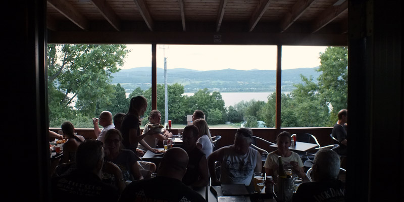 |
Pub Le Mitan
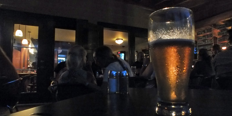 |
Pub Le Mitan
Next
| August | September | October |
| S | M | T | W | T | F | S |
| 18 | 19 | 20 | 21 | 22 | ||
| 23 | 24 | 25 | 26 | 27 | 28 | 29 |
| 30 | 31 | 1 | 2 | 3 | 4 | 5 |
| 3 | ||||||
| 4 | 5 | 6 | 7 | 8 | 9 | 10 |
| 11 | 12 | 13 | 14 | 15 | 16 | 17 |
| 18 | 19 | 20 | 21 |
The North Atlantic Arc Home
Mr Tattie Heids Mileage
Results may vary