from the Gulf of St Lawrence to the Sea of the Hebrides

6 September 2012
The North Atlantic Arc Home
| .August. | September | .October. |
| S | M | T | W | T | F | S |
| 24 | 25 | |||||
| 26 | 27 | 28 | 29 | 30 | 31 | 1 |
| 2 | 3 | 4 | 5 | 6 | 7 | 8 |
| 9 | 10 | 11 | 12 | |||
| 4 | 5 | 6 | ||||
| 7 | 8 | 9 | 10 | 11 | 12 | 13 |
| 14 | 15 | 16 | 17 | 18 | 19 | 20 |
| 21 | 22 | 23 | 24 | 25 | 26 | 27 |
| 28 | 29 | 30 |
 |
|
Thursday 6 September 2012--Very windy today, as is typical here. Gray again, but no rain. It's my day to see what I can of l'Île du Havre
Aubert. This southernmost of the isles is also the most forested, and landscapes in the interior seem atypical for the archipelago. I start by trying
to visit Le Verger Poméloi, which I assume is a cidrérie. I won't find out, because it's closed. [I find out much later that it's open in the
afternoon in September...I really should sort these things out ahead of time.] Then I ease the car down a rutty dirt road to Pointe des Canots,
Canoe Point, where a small dock juts into la Baie du Havre aux Basques. This is a large lagoon between Île du Havre Aubert and Île du Cap aux Meules,
bounded on the east by the Plage de la Martinique and on the west by the Dune de l'Ouest. The spot feels very remote, and I have a flashback to the
time I stood on the shore of Lake Manitoba, northwest of Winnipeg. It really isn't a good comparison, for a lot of reasons, starting with the fact that
Lake Manitoba is a freshwater lake about 120 miles long. I guess the canoe reference is suggesting voyageurs on the prairie to me. In any case, this
wild, lonely spot doesn't feel like the Magdalens, at least what I've seen of them before now.
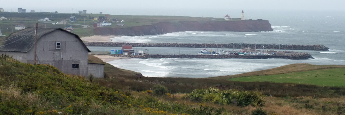
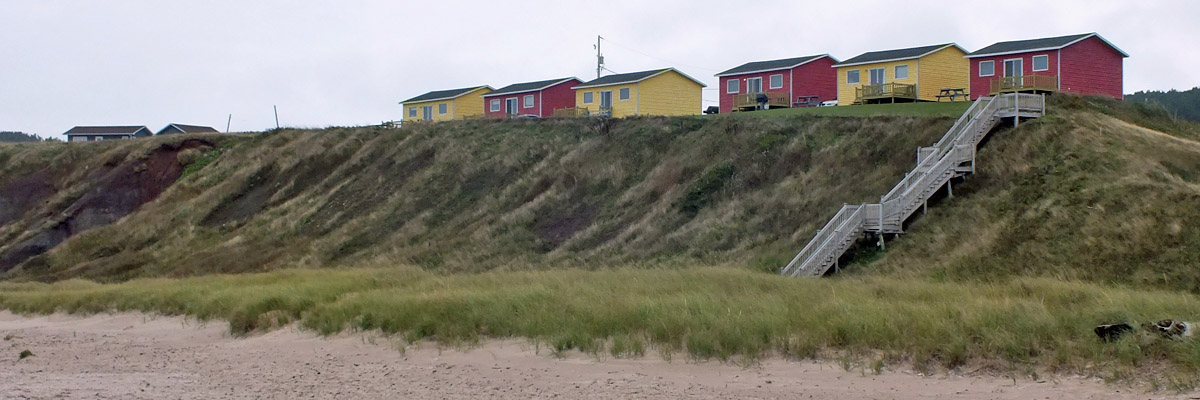
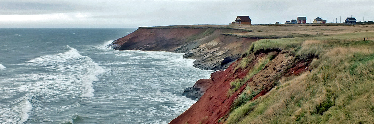
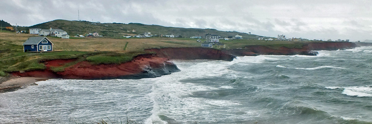
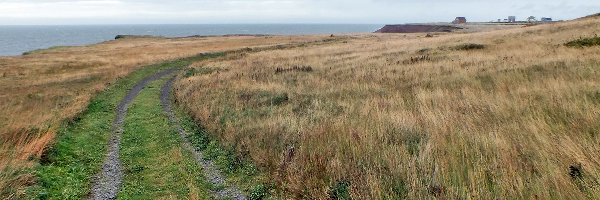
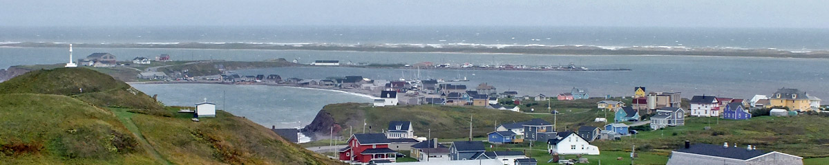
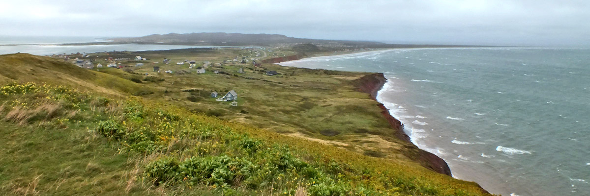
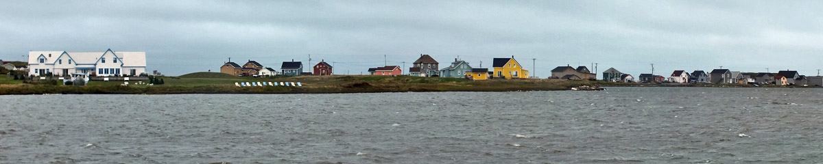
If there is a typical Madelinot landscape, it's the miles-long dune and beach. The Dune de l'Ouest runs six miles or so up to the area where the remains of the Corfu Island lie, uninterrupted but for a narrow break called Le Goulet du Nord, the only access from the Baie du Havre aux Basques to the open Gulf. (A goulet is a mouth or a bottleneck.) I walk a mile north on the beach, into the stiff wind, head down, picking over the pebbles. The walk back is much easier. The village of Bassin is scattered along the south slope of the island. I'd guess that the wooded hill shields the residents from the worst of the north winter winds, but you wouldn't know it down at the shore. I walk a bit on the beach at l'Anse-à-la-Cabane, and along a track above the cliffs east of the light at Cap du Sud. At the end of a dirt road on la Pointe Marichite, I have a view across Le Bassin, the lagoon that gives the village its name, toward Havre-Aubert and les Demoiselles, the two hills overlooking it. A short time later, I'm atop those hills in the unabated wind, looking back at Bassin, down at La Grave, and across the water to Entry Island. The Plage de la Martinique stretches away north toward l'Île du Cap aux Meules. I laze around the room for a while before going to the Café de la Grave for dinner. When I arrive, it's apparent that a musical performance has just ended. I see an accordion, a mandolin, and a musical saw. Damn. Someone plays the piano, at least, through dinner. Won't stay late--I'm up early tomorrow, and away. Next |
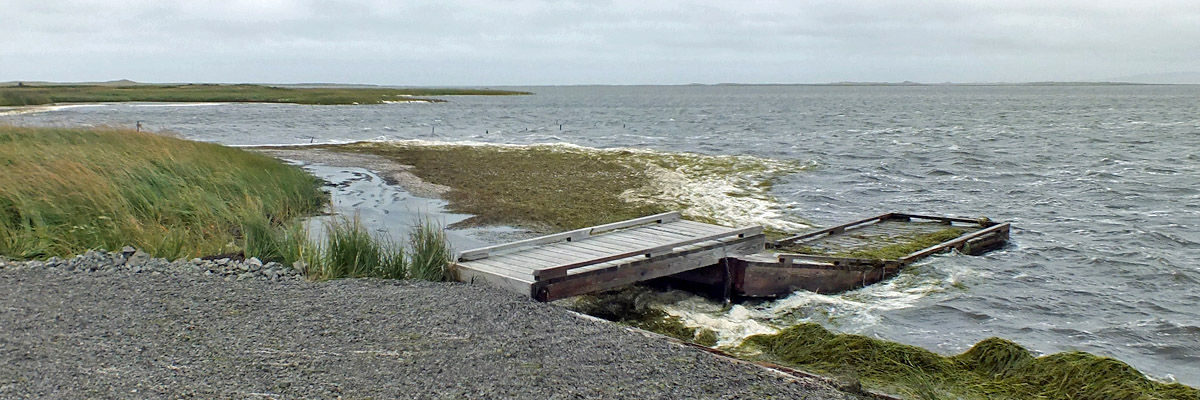 |
Pointe des Canots
 |
Pointe des Canots
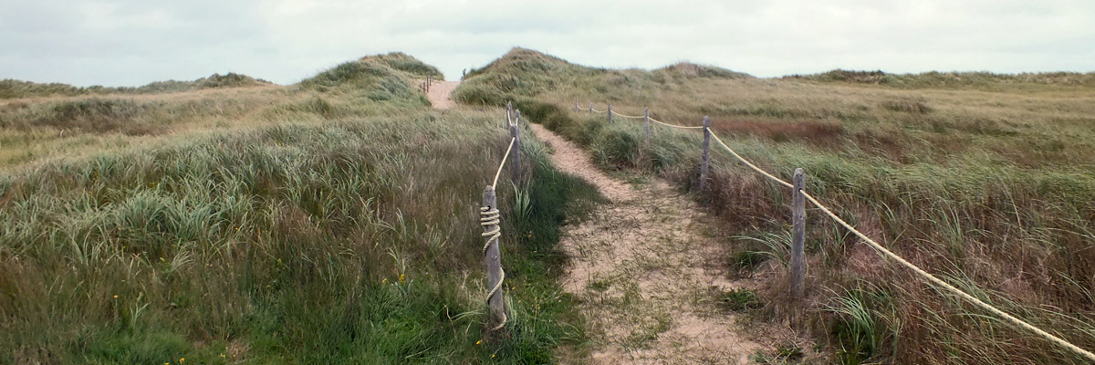 |
Plage de l'Ouest
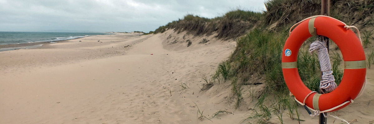 |
Plage de l'Ouest
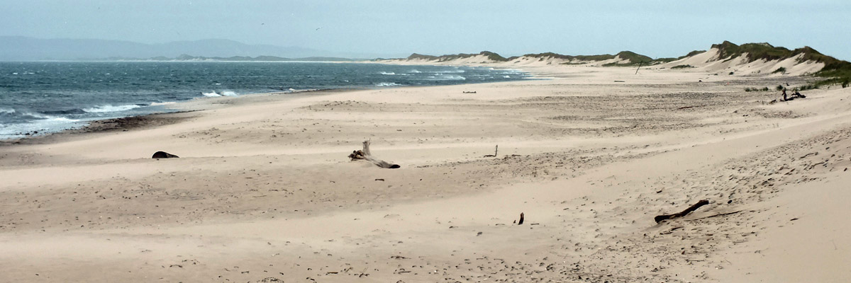 |
Plage de l'Ouest
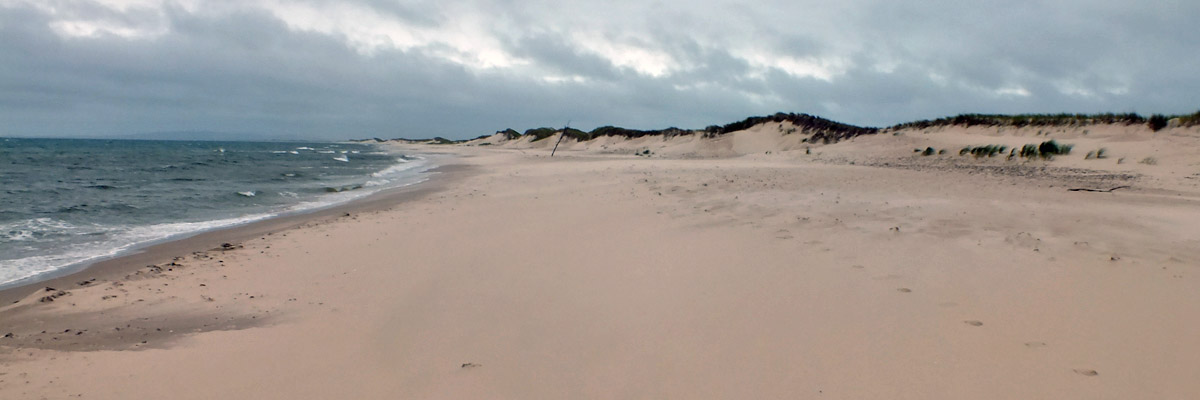 |
Plage de l'Ouest
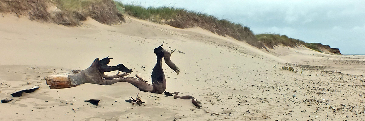 |
Beach Dragon
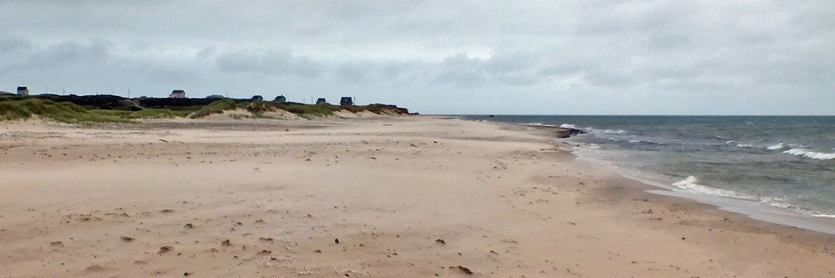 |
Plage de l'Ouest
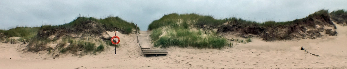 |
Plage de l'Ouest
 |
Anse à la Cabane
 |
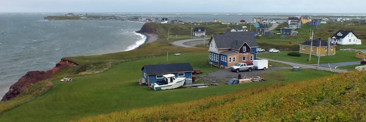
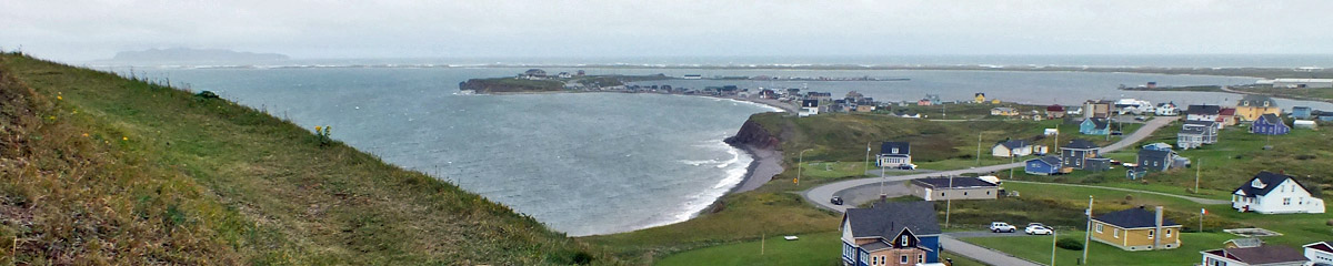
Bassin
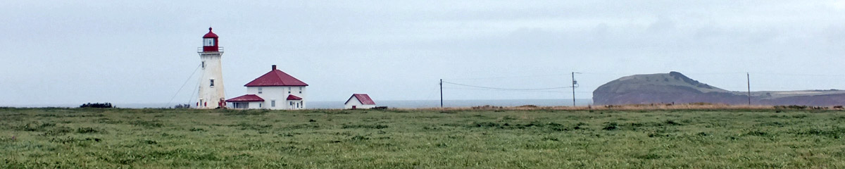 |
Bassin
 |
Bassin
 |
Bassin
 |
Bassin
 |
Bassin
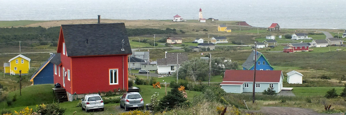 |
Bassin
 |
Bassin > > >
 |
La Grave
 |
La Grave
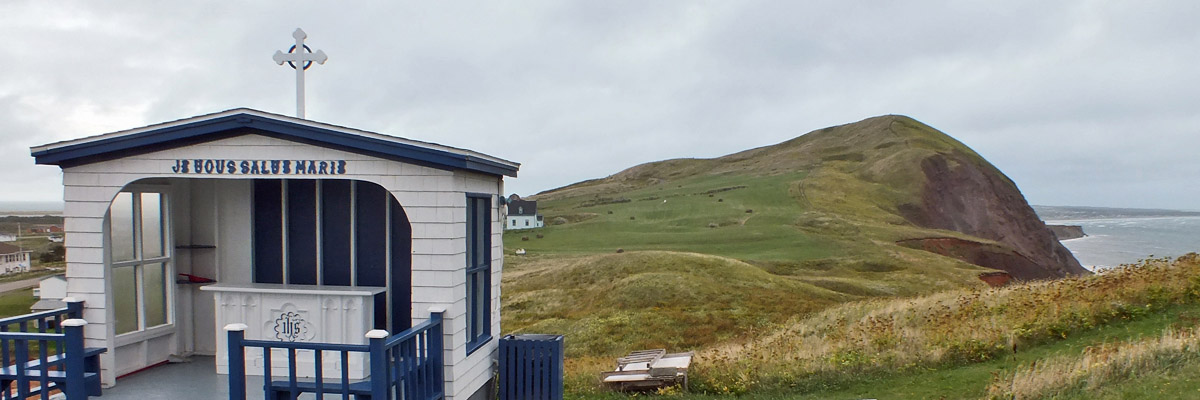 |
Hail Mary
 |
La Grave
 |
Portage-du-Cap
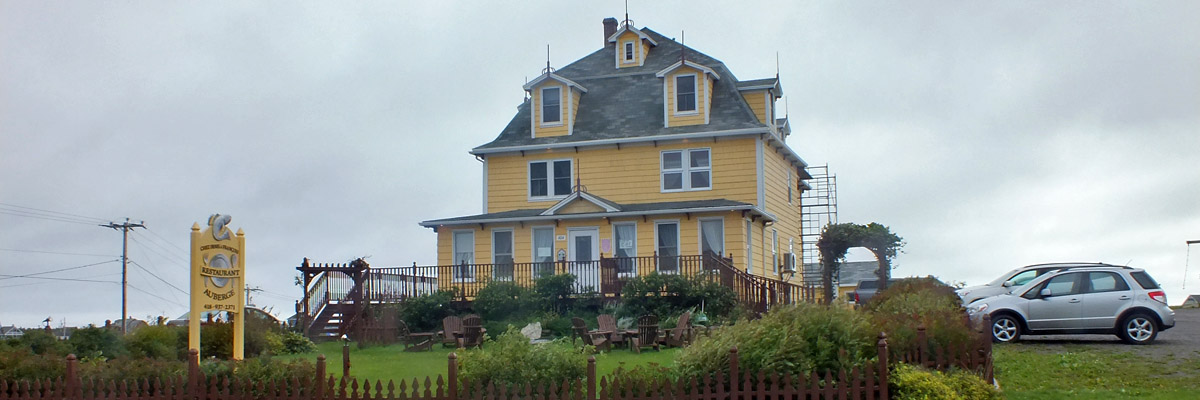 |
Auberge Chez Denis à François
 |
La Grave
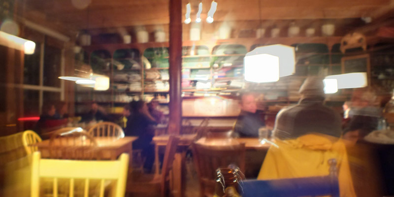 |
Café de La Grave
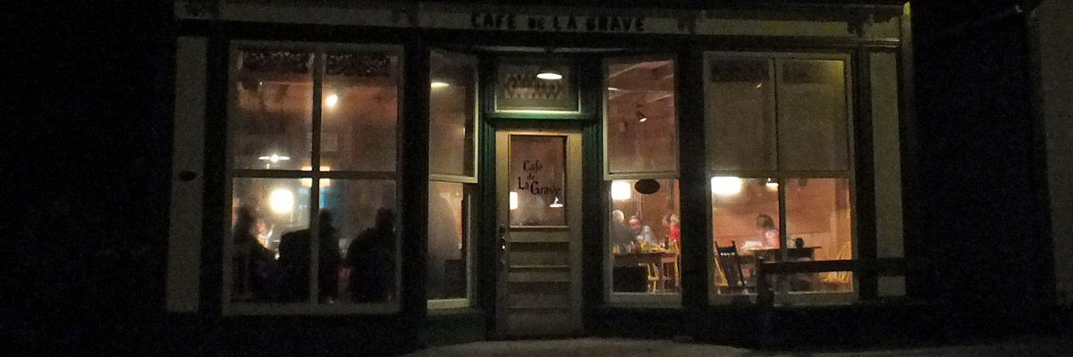 |
Café de La Grave
Around Havre-Aubert
Next
| .August. | September | .October. |
| S | M | T | W | T | F | S |
| 24 | 25 | |||||
| 26 | 27 | 28 | 29 | 30 | 31 | 1 |
| 2 | 3 | 4 | 5 | 6 | 7 | 8 |
| 9 | 10 | 11 | 12 | |||
| 4 | 5 | 6 | ||||
| 7 | 8 | 9 | 10 | 11 | 12 | 13 |
| 14 | 15 | 16 | 17 | 18 | 19 | 20 |
| 21 | 22 | 23 | 24 | 25 | 26 | 27 |
| 28 | 29 | 30 |
The North Atlantic Arc Home
Mr Tattie Heid's Mileage
Results may vary
MrTattieHeid1954@gmail.com