from the Gulf of St Lawrence to the Sea of the Hebrides

10 September 2012
The North Atlantic Arc Home
| .August. | September | .October. |
| S | M | T | W | T | F | S |
| 24 | 25 | |||||
| 26 | 27 | 28 | 29 | 30 | 31 | 1 |
| 2 | 3 | 4 | 5 | 6 | 7 | 8 |
| 9 | 10 | 11 | 12 | |||
| 4 | 5 | 6 | ||||
| 7 | 8 | 9 | 10 | 11 | 12 | 13 |
| 14 | 15 | 16 | 17 | 18 | 19 | 20 |
| 21 | 22 | 23 | 24 | 25 | 26 | 27 |
| 28 | 29 | 30 |
 |
|
Monday 10 September 2012--Sackville, New Brunswick, home of Mount Allison University, sits just off the TransCanada Highway, a few miles west of
the Nova Scotia border. I'm staying at a motel at the edge of town. I've never been here before, and am not expecting a lot, but figured there had to
be something in the town sufficient to amuse the students. It's smaller even than I expected. I had dinner last night at an Italian restaurant, the
one in town with any culinary pretensions, and then had a beer at the pool hall. It was pretty quiet until a group of twenty or thirty Japanese students
arrived, one per cent or so of the university's student body. The evening's entertainment was several of the girls singing along unselfconsciously with
the dance-pop tunes on the jukebox.
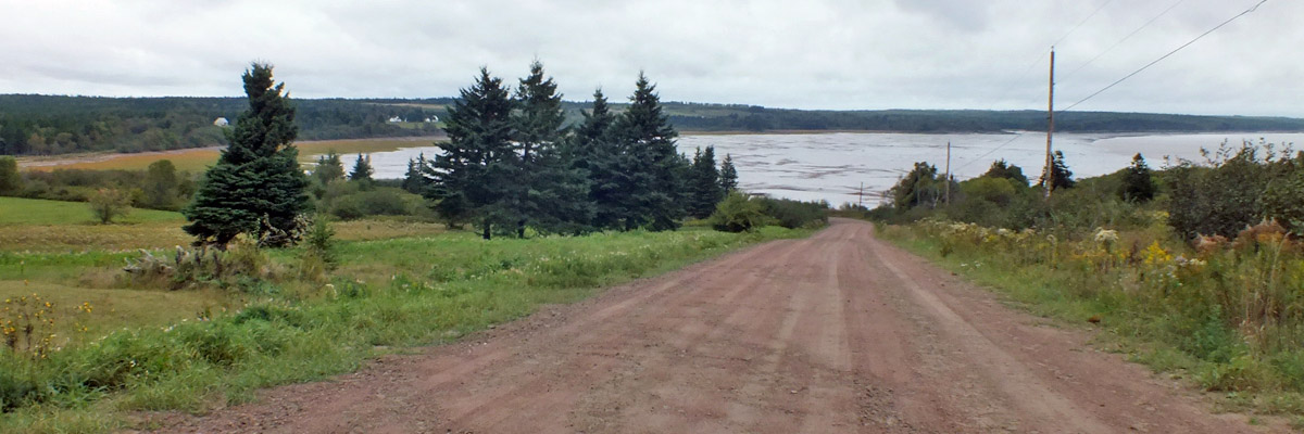
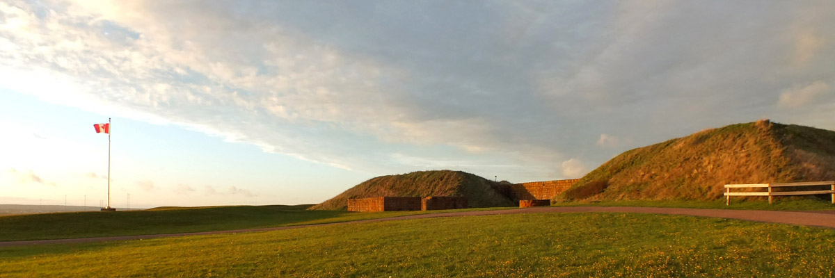
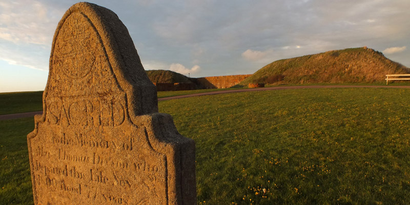
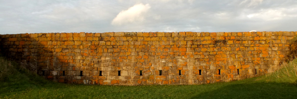
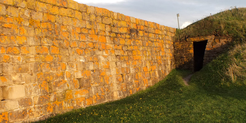
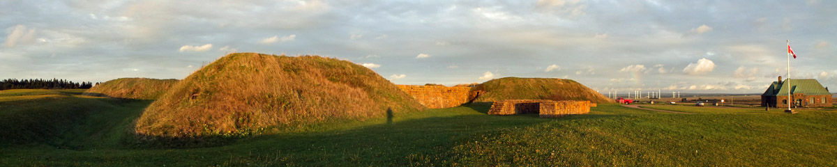
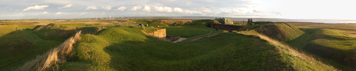
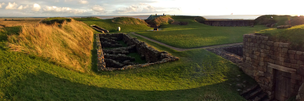
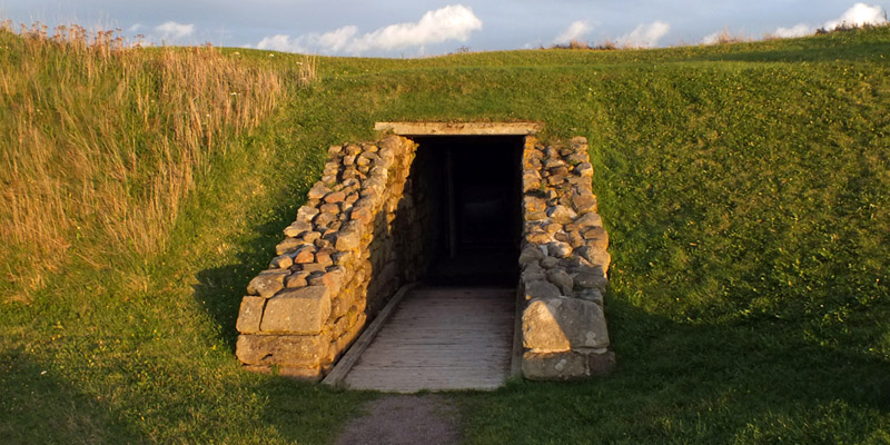
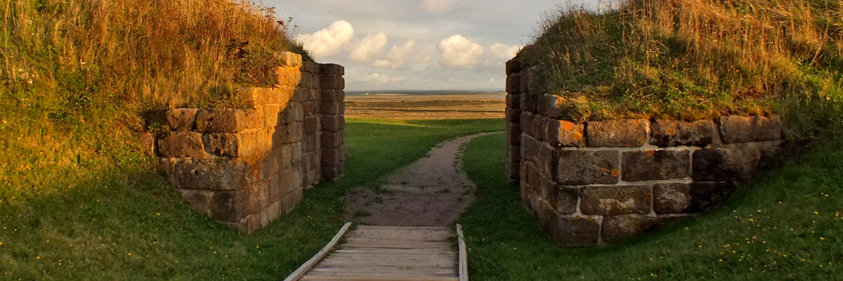
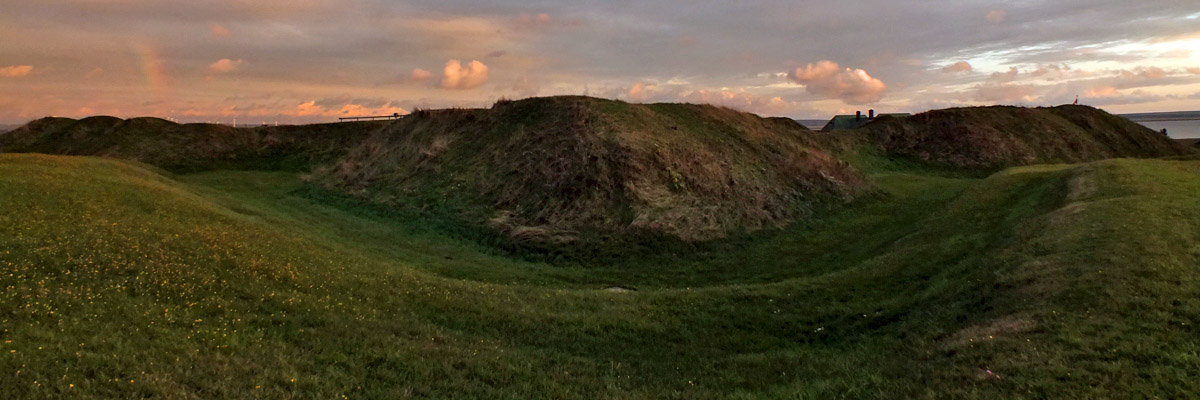
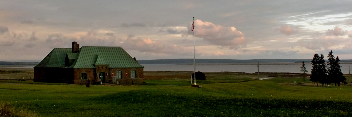
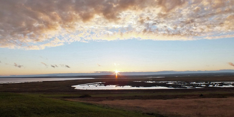
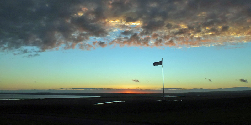
My plan for the day is to visit Fort Beauséjour, near the New Brunswick-Nova Scotia border. It's still gray this morning, and it's supposed to clear later, so I kill some time with a stroll around town. I drive around Dorchester Cape, the peninsula south of town, which separates Shepody Bay to the west from Cumberland Basin to the east. These are fingers of Chignecto Bay, itself an extension of the Bay of Fundy, forming the south coast of the Chignecto Peninsula, which links New Brunswick to Nova Scotia. I pass through the town of Dorchester, and drive along the heights above Memramcook and Sackville. Then I go to the fort, and take a bunch of lousy photos under dull skies. The site is open, but the accompanying museum is already closed for the season. Fort Beauséjour was built by the French in the runup to the French and Indian War (the Seven Years War in Europe). It sits on a hill with a commanding view over the Cumberland Basin to the south, Fort Lawrence and Amherst to the east, and the Tantramar Marshes to the west. These latter comprised a vast wetland, washed twice daily by Fundy's enormous tides, before the French colonized the region. The Acadians built dikes across such places all around the Bay of Fundy, turning salt marshes into fertile agricultural land and pasture. Tantramar--the name comes from Acadian French tintamarre, a reference to the racket made by migrating birds--was surely the largest of these, in fact one of the largest salt marshes on the eastern seaboard of North America. The settlers, the first of whom arrived in 1671, got on well enough with the native Mi'kmaq, as their land use patterns didn't conflict--the Mi'kmaq hunted in the woods and fished, and the Acadians farmed the open land. While the cultural heritage of the Acadians is well appreciated today, ecological concerns have led to efforts to restore parts of Tantramar and other similar marshlands to a more natural state. The Treaty of Utrecht, which concluded the War of the Spanish Succession, provided (among many other things) for the transfer of what is now mainland Nova Scotia from French to British control in 1713. Unwilling to take a pledge of loyalty to the British crown, the Acadians were suffered to stay in the land via an oath of neutrality. The border between New France and Nova Scotia was never explicitly defined, and that was part of the cause of the ensuing conflict (although similar issues in the Ohio Country, centered around present-day Pittsburgh, were more pertinent). As hostilities were renewed between the colonial powers, the value of that oath was tested, and found wanting. The British captured Beauséjour in 1755, and found Acadians serving therein. The deportation followed, intended as much as anything else to isolate Louisbourg. The Seven Years War began in earnest the following year. Louisbourg fell to Amherst in 1758, followed by Québec, to Wolfe, in 1759. When Montréal was captured in 1760, the French regime in North America was finished. In the negotiations that resulted in the Treaty of Paris of 1763, France was given the choice of retaining Canada, or the islands of Guadeloupe and Martinique. Sugar cane was deemed more valuable than the territory Voltaire dismissed as "a few acres of snow." Britain now held an empty land, Acadia, that needed populating. Veterans of the war were offered land grants. My ancestor, Benjamin Allen, may have been one of these. Families from the other American colonies were given incentives to resettle. These were known as the New England Planters, although not all were from what is now considered New England. A German immigrant named Mathias Somers was recruited by land agents in Pennsylvania. There was an influx from Yorkshire, followed by the Loyalists, refugees of the American Revolution. The colony of New Brunswick was carved out of Nova Scotia. Benjamin Allen was a mild-mannered fellow, known to his acquaintances as Shy Ben. He was a bachelor farmer at Baie Verte up to the age of 35. It's said that he attended a dance at Fort Cumberland--the former Fort Beauséjour--on New Year's Eve of 1771. Having had a bit much to drink, he stood up and said, "I am in dire need of a wife. Who will have me?" Sarah Somers, daughter of Mathias, was standing nearby. It's easy to believe that Sarah, a sharp-tongued young woman with reputation for pugnacity, thought she might not ever again have an opening like that. "I'll have you, Ben," she said. Legend has it that they were married on the spot. Sarah was a month short of her eighteenth birthday. If there was any remorse the next morning, there is no record of it. The twelve children Ben and Sarah raised would seem to argue otherwise. I leave Beauséjour and take a roundabout route back to Sackville, wandering some dirt roads across the meadows. After resting a while back at my room, I'm just thinking of looking for some dinner when I realize that the sky has cleared, with slightly less than an hour to sunset. I dash back to Beauséjour and run around the fort, retaking all the same photos I took earlier. As the sun dips behind the New Brunswick hills, I feel pretty lucky. Often enough, the next chance to get better photos is a year away, or several years, if it comes at all. Next |
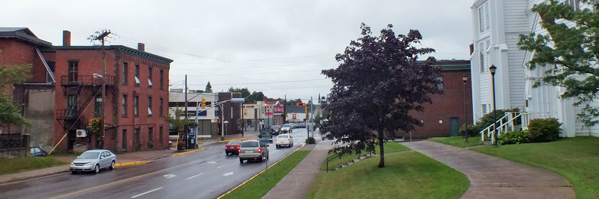 |
Beautiful Downtown Sackville
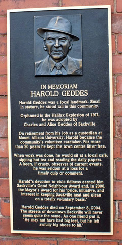 |
Local Hero
 |
New Brunswick Folk Art Dude
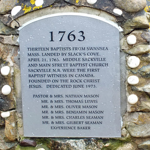 |
Slack's Cove
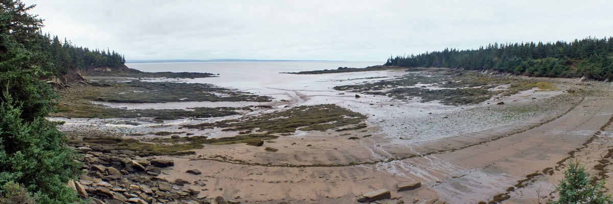 |
Slack's Cove
 |
Beautiful Downtown Rockport
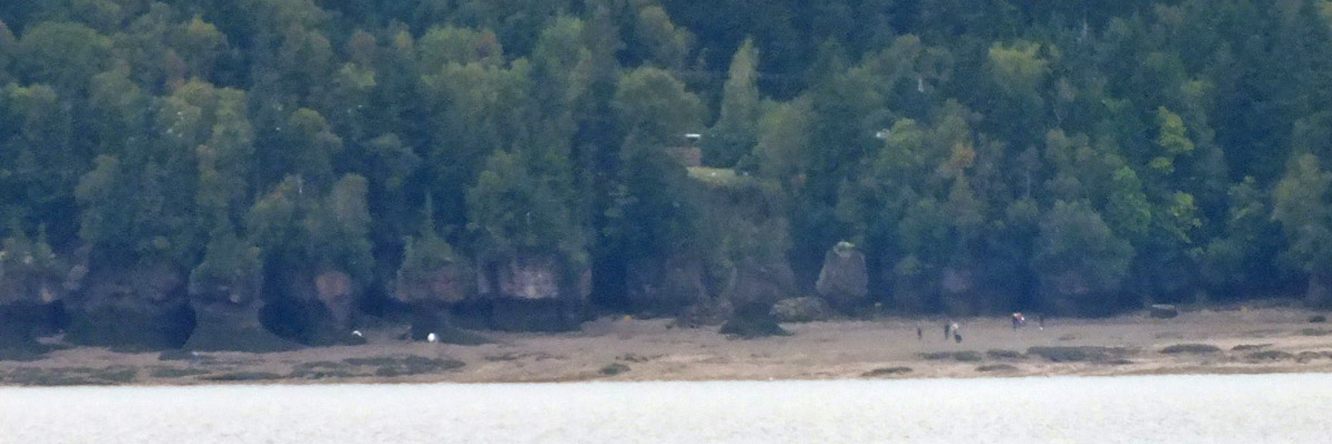 |
Hopewell Rocks Across Shepody Bay
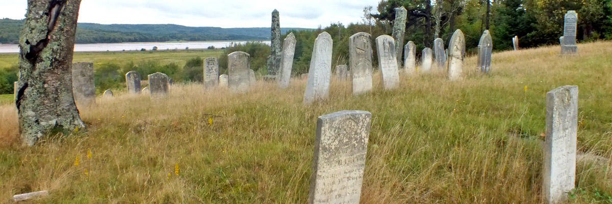 |
Dorchester Cape Cemetery
 |
 |
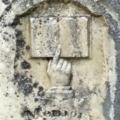 |
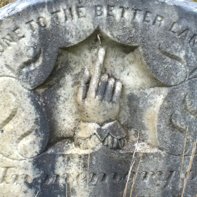
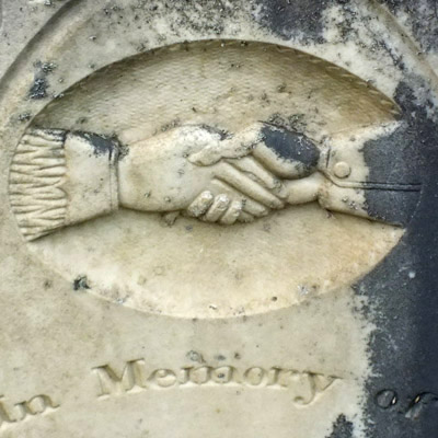
Dorchester Cape Cemetery
 |
Fort Beauséjour Under Cloud
 |
Later That Same Day
 |
Fort Beauséjour
 |
Fort Beauséjour
 |
Fort Beauséjour
 |
Fort Beauséjour
 |
Fort Beauséjour
 |
Fort Beauséjour
 |
Fort Beauséjour
 |
Fort Beauséjour
 |
Fort Beauséjour
 |
Fort Beauséjour
 |
Fort Beauséjour
 |
Fort Beauséjour
 |
Fort Beauséjour
 |
Fort Beauséjour
 |
Sunset Over Tantramar
 |
Fort Beauséjour
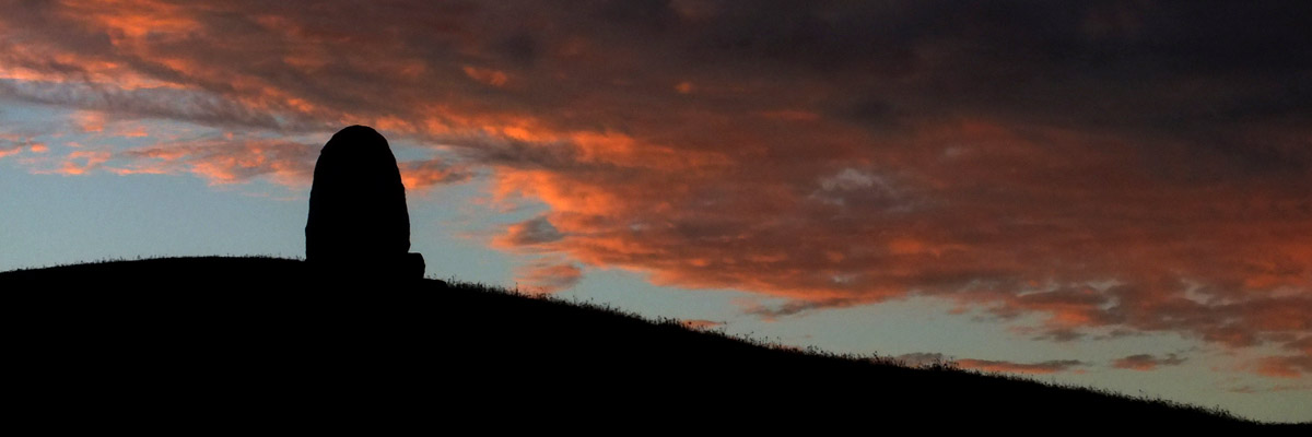 |
Sunset At Beauséjour
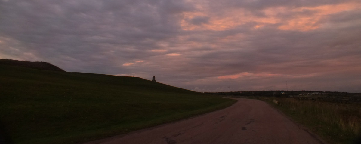 |
Farewell Fort Beauséjour
 |
Night Falls On Sackville
Around Sackville
Next
| .August. | September | .October. |
| S | M | T | W | T | F | S |
| 24 | 25 | |||||
| 26 | 27 | 28 | 29 | 30 | 31 | 1 |
| 2 | 3 | 4 | 5 | 6 | 7 | 8 |
| 9 | 10 | 11 | 12 | |||
| 4 | 5 | 6 | ||||
| 7 | 8 | 9 | 10 | 11 | 12 | 13 |
| 14 | 15 | 16 | 17 | 18 | 19 | 20 |
| 21 | 22 | 23 | 24 | 25 | 26 | 27 |
| 28 | 29 | 30 |
The North Atlantic Arc Home
Mr Tattie Heid's Mileage
Results may vary
MrTattieHeid1954@gmail.com