Friday 24 August 2012--It's four hundred thirty miles or so from my hometown of Springfield, Massachusetts to St Andrews, New Brunswick,
according to my employer-issued GPS. There isn't much to say about the interstate highway system, except that it's fast and efficient. The highlight
of the drive is probably the huge state liquor store in New Hampshire, where I pick up a bottle of Old Pulteney. Easy off, easy on.
I exit the interstate near Bangor, Maine and head northeast on Route 9, the Airline Road. Oddly enough, this name dates to the mid-19th
century, "airline" apparently being a reference to the route's more direct path to the border crossing at Calais (pronounced callus), compared
to the coastal route. I've seen a lot of improvement on this road over the years I've been driving it, widening, leveling, and straightening; hard to
believe the last link to be paved was only in 1973. It's much safer than it was just fifteen years ago, but is still pretty curvy and hilly. The
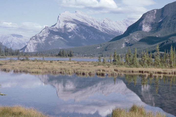
scenery isn't spectacular, but there are some nice views, and the heights in places are vaguely reminiscent of Sutherland moors. A nice drive, if
you don't get stuck behind a truck, which you will.
The other major improvement on this route, since last I was here, is the huge new border crossing on the outskirts of Calais. I longed for
this to open for years, as I sat stuck in the bottleneck that was the bridge between St Stephen, New Brunswick and Calais. Now, in a virtually empty
border station designed to deal with problems a decade out of date, I rather wish I'd taken the downtown route. Still, I have to appreciate the
Canadians' work to improve the flow of commerce from the Maritimes to the US, which includes the ongoing upgrade of Route 1 between Saint John and
the border. Notwithstanding the improvements to the Airline Road, the American commitment to the effort ends, it seems, at the new roundabout on US
Route 1 on the southern side of the crossing. Maybe someday I-395 will be extended from Bangor to this point. Not in my lifetime.
Kathy, the wee Irish lass inside the GPS (there was no Scot available), is entirely unfamiliar with the new crossing and Route 1 upgrades.
That doesn't stop her from going on as if she knows what she's talking about. I hated the GPS when I first got it. Kathy would say "Turn around,
when possible," and I'd say "Shut the hell up, when possible." After a while, I learned to say "Yes, dear," and do what I wanted to, anyway. I'm
an old bachelor and am probably not really qualified to say, but I imagine that's how a lot of successful marriages actually work. It turns out that
Kathy doesn't have a clue where St Andrews is. Fortunately, I do, and I ignore her attempts to send me to an obscure neighborhood of Saint John,
another hour and a quarter up the road. If she were a real woman, Kathy might forgive me for being wrong, but I'm sure she'd never forgive me for
being right. It's just as well that the wee lass has a terrible short-term memory problem.
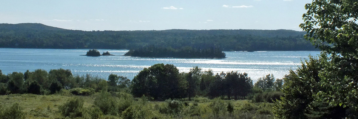
The St Croix River is the border between the US and Canada here. St Andrews sits at the tip of a peninsula where the river broadens out
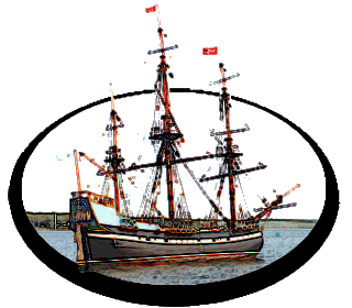
into Passamaquoddy Bay. In June of 1604, Pierre Dugua, Sieur de Mons, attempted to establish a settlement on Île Sainte-Croix, four miles upstream
from the river's mouth. It was an unwise choice of site--Dugua figured the island would be easy to defend, but he wasn't prepared for the harshness
of the North American winter. The isolated party of seventy-nine, unable to leave the island for most of the winter, suffered thirty-five deaths,
mostly from scurvy. The following year, the survivors moved to the mainland, founding the more successful settlement of Port-Royal under the
leadership of the cartographer Samuel de Champlain, who would go on to found Quebec City in 1608. Dugua, meanwhile, went back to France, never to
return.
Île Sainte-Croix is a peculiar historic site. Arguably the birthplace of French Canada, it is now actually on the American side of the
border. Both countries maintain commemorative parks on their respective banks of the river, but there is no public access to the island itself.
The Canadian park contains a picnic shelter and a gravel pathway, which serves only to space out the dozen or so interpretive panels that explain
the significance of the time and place.
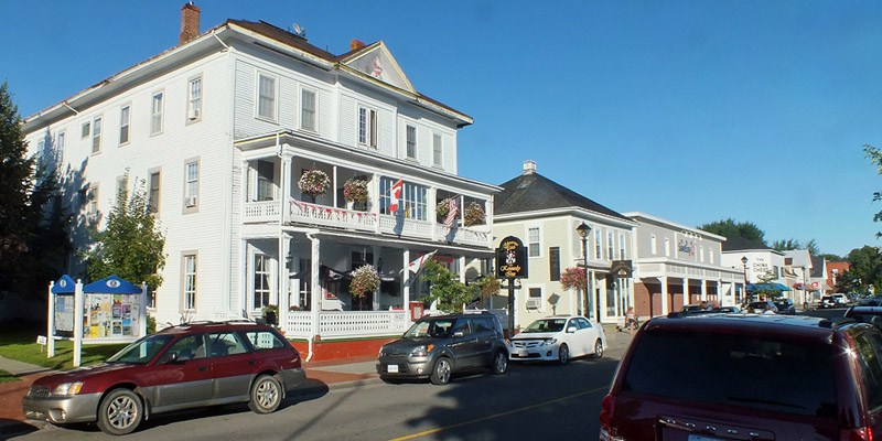
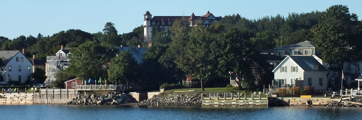
Arrive in St Andrews late in the afternoon and find my lodgings, a 130-year-old wooden hotel on Water Street, the main drag. It's almost
charming...could do with a sprucing up. But then I couldn't afford it. The room will be comfortable enough as long as it's a cool night, which it
almost always is here. I take a stroll up and down the street and out onto the pier, and then have a serviceable dinner on the hotel's front porch.
Follow that with pints in the pub, which is almost cozy. At least there is decent beer, a Best Bitter from Picaroon's of Fredericton.
Next |