
Nothing Like The Sun


16 April 2024
The North Atlantic Arc Home
| AprilApril | MayMayMayMay |
| S | M | T | W | T | F | S |
| 7 | 8 | 9 | 10 | 11 | 12 | 13 |
| 14 | 15 | 16 | 17 | 18 | 19 | 20 |
| 21 | 22 | 23 | 24 | 25 | 26 | 27 |
| 28 | 29 | 30 | 1 | 2 | 3 | 4 |
| 5 | 6 | 7 | 8 | 9 | 10 | 11 |
| 12 | 13 | 14 | 15 |

|
|
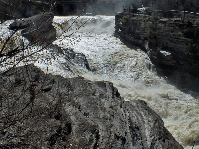
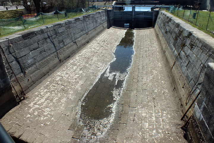
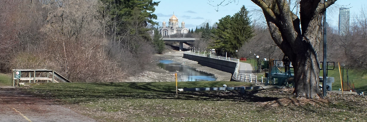
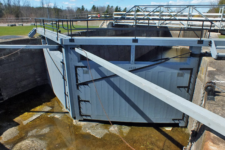
Tuesday 16 April 2024--I'm up and out relatively early today; I'm headed south to Westport, and want to see as many lock sites as I can along the way. I check out, load up the car, and drive four miles or so to Hogs Back. The canal and the river split here, making for a large and interesting site. Colonel By built a dam here, raising the river over forty feet and flooding seven miles of rapids, including the distinctive slab of rock known as the Hog's Back. The dam was the most troublesome construction on the whole length of the canal. The original contractor had his work washed away by spring floods twice, and asked to be released from his contract. A new contract was issued to P Wright and Sons (the founding family of Gatineau), and By assigned two companies of Sappers and Miners, military construction specialists, to assist Wright's crew of 300. The assembled crew attempted to complete the dam the following winter, before the spring floods. The face of the dam was an arch of neatly-dressed stone, backed with a material called clay puddle, backed with earth. When properly prepared, the clay puddle is watertight, but in this case it was undermined by frozen ground underneath, a condition unfamiliar to the British engineers. When the ground thawed in the spring, the dam sprung a leak. On 3 April 1829, By and forty men were on the dam, attempting to plug the leak, when they felt it move under their feet, and ran for their lives. A fifty-foot gap opened up, the river rushing through. At this point, By looked into possible alternative routings, but decided there were none, and so began again. (Colonel By's reports to his superiors back in London were answered by an instruction from one to make the dam "perfectly impervious to water." By replied, "I beg to state that on that principle I have acted from the commencement of the works." A simple "Duh" might have sufficed.) The dam got built (follow the link above if you need detail--it's less exciting), along with two locks, numbers 11 and 12. The upper one is what is called a guard lock, intended mainly to protect the lower one from ice and flood damage. In season, the upper gate is normally left open, but the lock can be used to provide a few additional feet of lift in times of high flood. I drive south toward Black Rapids. I've forgotten how far it's supposed to be from Hogs Back, but after a while, I know I've missed it--by quite a lot, in fact. Being pathologically averse to u-turns, I make a long loop back. By the time I find it, I've lost nearly an hour. The sign I missed is small, and well off the road. The lock at Black Rapids, number 13, is one of three along the canal that were electrified by the Department of Transport, the beginning of a modernization program that ended when Parks Canada took control. The dam here was not as troublesome as that at Hogs Back, but it did present problems. For one thing, the land here is flat, and the river fairly broad; the dam had to be extended considerably farther than planned to keep floodwater from flowing around it. Colonel By had at first intended to make all of the dams along the canal overflow dams, meaning water would flow over the top all along the length of it. He quickly learned that ice damage and erosion made this impractical, so most of the dams were built higher with no intended overflow, excess water instead passing through an adjacent waste weir with an adjustable gate. The dam was still subject to considerable flood and ice damage. A new dam was built in 1862, and subsequently replaced by the existing concrete dam in the 1950s. I cross the lock and walk down to the edge of the wing wall at the lower end, to see if I can get a better look at the dam. The land on this side of the lock is a narrow strip with the lock on one side and a wooded bank sloping down to the river on the other. I have unknowingly walked past a Canada goose's nest on the bank, and when I turn to retrace my steps, I am confronted by Mother Goose, who is evidently miffed that she has allowed me to walk past her nest, and is determined not to let me do it again. I'm cornered. I try to slide meekly past her, as far from the bank as possible; she charges me, spreading her wings and hissing. I try spreading my own wings and hissing, but she is not intimidated. I'm thinking I might starve to death out here. Finally, I put my arms through the sleeves of my fleece back way to, so I can use it as a shield, and make a break for it. She flies up at my face, intent on pecking my eyes out, or tearing my throat out, or something. I manage to push her away, but lose my balance and fall on my backside. I'm expecting another assault, but she's standing a few feet away from me, chuckling to herself, no doubt. She allows me to get to my feet and stumble off, perhaps satisfied with having scored a knockdown. It's five miles or so to the next lock site, Long Island. There's a flight of three locks, numbers 14 to 16, at the northern end of the east channel alongside the three-mile length of Long and Nicolls Islands. The stone-faced dam that By built is still doing its job, nearly two centuries later. The weir was another matter, being washed away, moved, and rebuilt at least twice. The current concrete weir empties into the west channel, between the two islands. A mile and a half or so upstream from the locks, a bridge leads across Long Island to the village of Manotick. When the weir was moved to its current position, a dam was built in the west channel here, to assure sufficient depth in the east channel. The dam provided enough drop for Moss K Dickinson to build a flour mill in 1860. Dickinson had built a shipping empire that moved lumber and agricultural goods along the Rideau Canal and Ottawa and St Lawrence Rivers, as well as into the Lake Champlain and Erie Canal corridors. With railroads providing increased competition, Dickinson sold his transport interests in 1869, and concentrated on the Manotick mill complex, which eventually included grist, saw, and carding mills, a cooperage, and a bung, tap, and spile factory. He also found time to serve as mayor of Ottawa from 1864 to 1866. Over the last decades of the 19th century, much of the complex either burned down or was dismantled, but the flour mill operated under various ownerships until 1963. Today, the mill and the Dickinson House comprise a museum dedicated to Moss Dickinson's legacy. It's closed at this time of year, of course. I'll have to devote more time to Manotick, on another visit. It's a long stretch, more than twenty miles, to the single lock at Burritts Rapids, number 17. Colonel By built the lock at the foot of the Oxford Snie, a mile-long dry flood channel, and put a dam on the river channel to force water into the snie. This created a long slender island, on which today sits the village of Burritts Rapids. As I noted in 2021, this was once a bustling burg, with the first bridge crossing the Rideau River. It's a sleepy place now. I'd like to have a look at the dam, but it's not so easily accessible--it can be reached via a trail that runs the length of the island, or a rough dirt road on the mainland side. I'm out of energy and time. Besides, there might be geese. I'd hoped to get to the next two lock sites today, finishing at Merrickville, but the lost hour in the morning has cost me. I instead hightail it for Westport, another hour down the road. Next |
From Ottawa To Westport
| Hogs Back |
 |
Hog's Back Falls
 |
Hog's Back Falls
 |
Hog's Back Falls
 |
Between
 |
Lock 11
 |
Lock 11
 |
Lock 12
 |
View North
 |
Lock 12
 |
Rideau Canoe Club
 |
Back At The Falls
| Black Rapids |
 |
Lock 13
 |
Lock 13
 |
Lock 13
 |
Lock 13
 |
Killer Goose
 |
Black Rapids Dam
 |
Lock 13
Killer goose on the lock wall, making sure I'm leaving
| Long Island |
 |
Lock 14
 |
Lock 16
 |
Dam
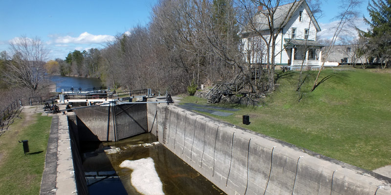 |
Lock 16
 |
Lock 15
 |
Long Island Locks From Below
 |
Long Island Locks
 |
Watson's Mill
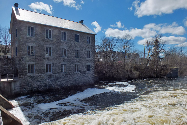 |
Watson's Mill
 |
Watson's Mill
 |
Dickinson House
 |
Manotick
| Burritts Rapids |
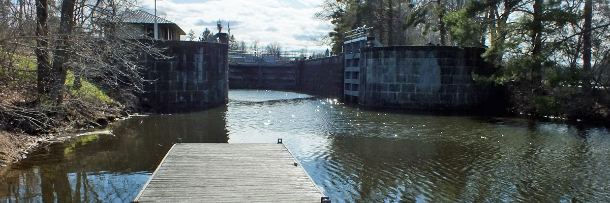 |
Lock 17
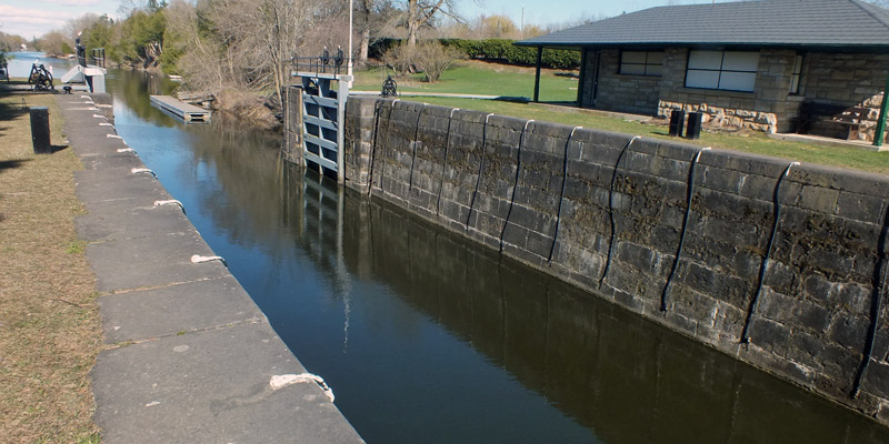 |
Lock 17
 |
Lock 17
 |
Westport
Next
| AprilApril | MayMayMayMay |
| S | M | T | W | T | F | S |
| 7 | 8 | 9 | 10 | 11 | 12 | 13 |
| 14 | 15 | 16 | 17 | 18 | 19 | 20 |
| 21 | 22 | 23 | 24 | 25 | 26 | 27 |
| 28 | 29 | 30 | 1 | 2 | 3 | 4 |
| 5 | 6 | 7 | 8 | 9 | 10 | 11 |
| 12 | 13 | 14 | 15 |
The North Atlantic Arc Home

Mr Tattie Heid's Mileage
Results may vary
MrTattieHeid1954@gmail.com